Circuit 40. Le vallon d'Aas de Bielle
Add to my favorites

Route opened

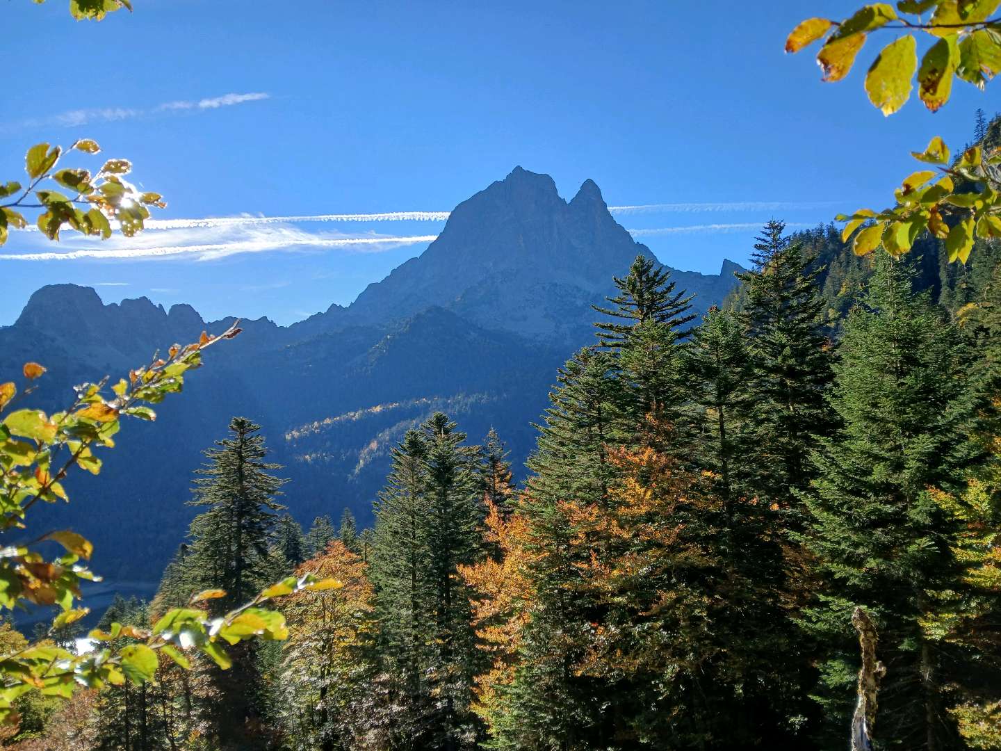
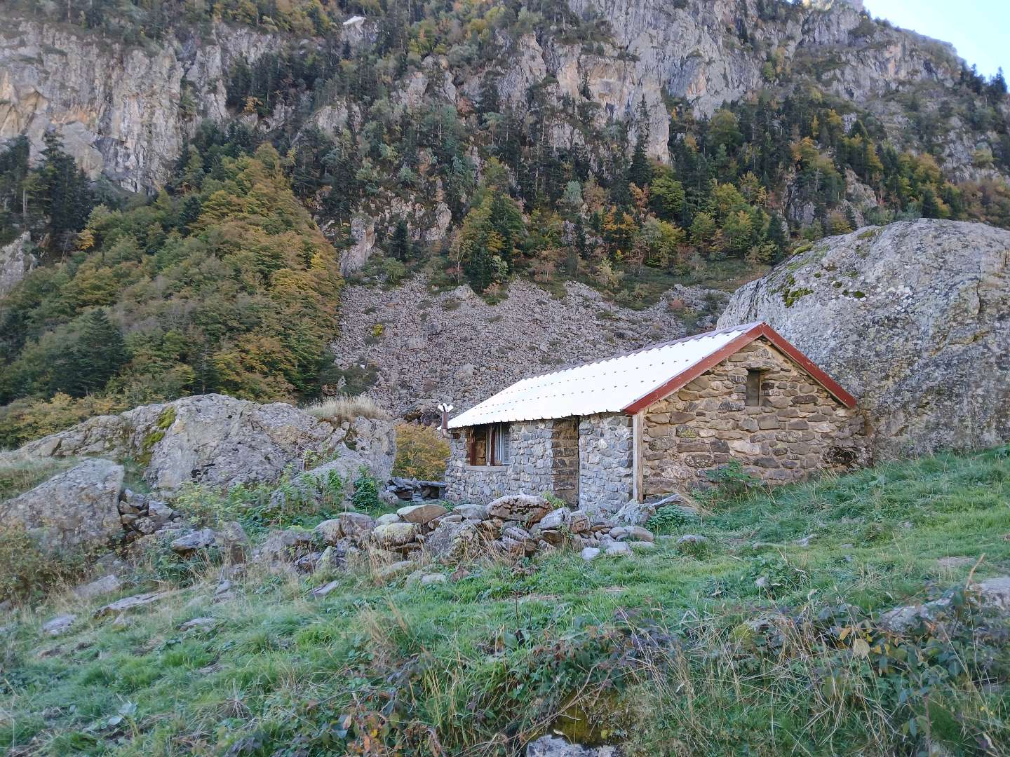
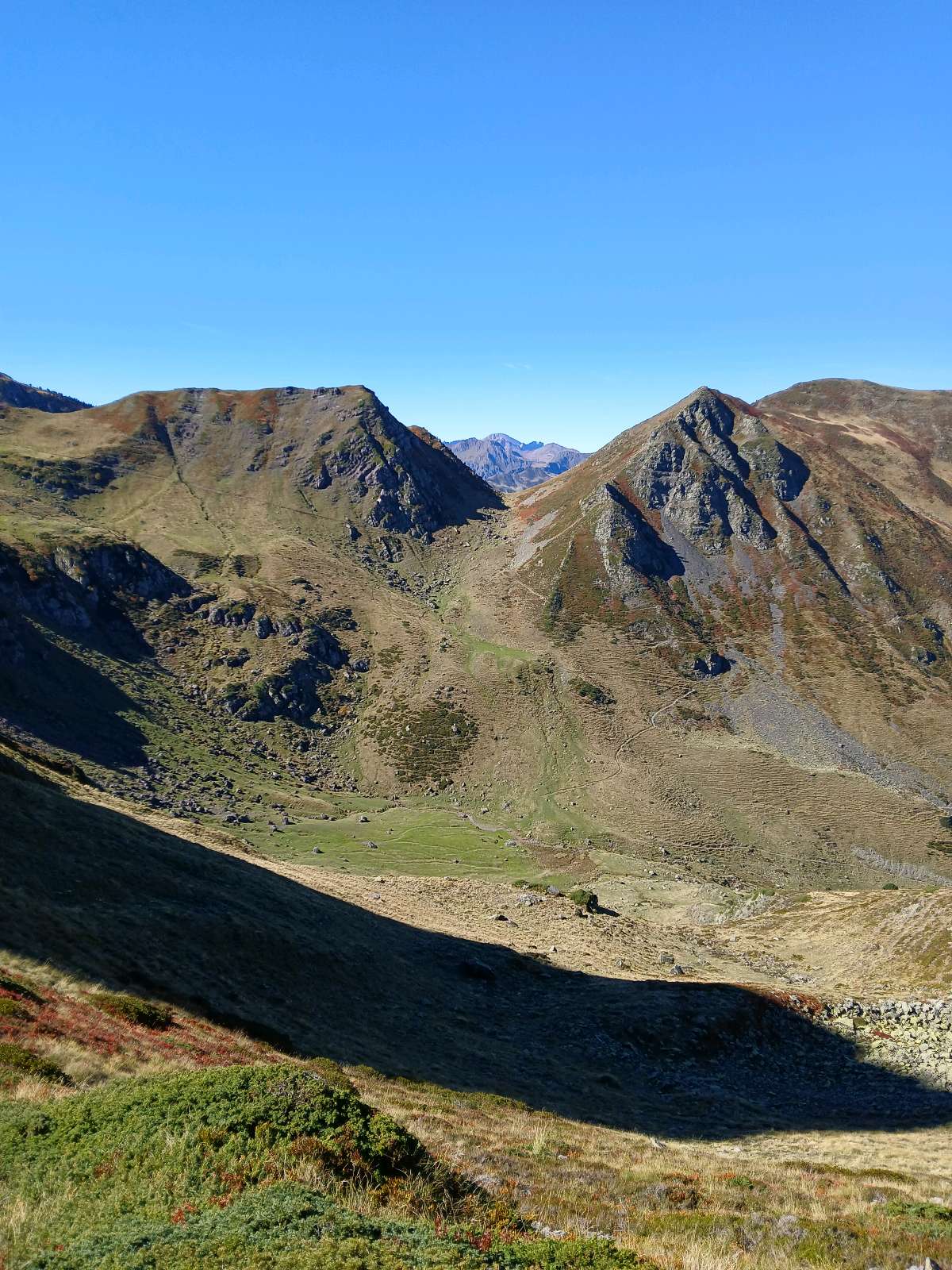
This route goes through a wild valley that is only occupied in the summer by herds of cows and horses. After climbing through the forest and crossing pastures, the climb to the pass at 2140 m offers a superb panoramic view over the mountains of the Aspe Valley.
A symbol of mountain wildlife, the capercaillie is a member of the grouse family, and occupies the great Pyrenean forests of pine and fir. This gallinaceous bird is known for its impressive courtship rituals. These take place every spring in the same locations. The males perform a dance with their tails on display, their wings hanging and their heads erect. They look as if they are in a trance, leaving the hens to choose their partner.The characteristics of the route.

Bious-Oumette (64)
- Distance 10.19 km
- Elevation gain 820 m
- Elevation lost 820 m
- Min. elevation 1307 m
- Max. elevation. 2091 m
- Duration (depending on pace) 4h30
- Marking panneaux directionnels, pas de balisage
You may notice differences between the distance and elevation data displayed on the digital tools and the pdf file due to different data sources.
Report a problem
PDF-File-HIKING-40.Le Vallon d'Aas de Bielle 
Sylvie33
The 2025/10/07
En savoir plus
Ajouter votre chrono et partager vos sensations
Services nearby

Bious Pagayous - Canoë Kayak
GABAS

L'Estibère
GABAS

Artouste charging station
Artouste
Refuge de Pombie
COL-DU-POURTALET
Hébergement Associatif Béarn Pont de Camps
PONT-DE-CAMPS


Follow us on
the digital trails
the digital trails


The Ossau Valley Tourist Office
Welcome desk of Laruns
Maison de la Vallée d’Ossau – 64 440 LARUNS
+33(0)5 59 05 31 41
Tourist Office
 Ossau valley Land of adventures - Parcours - Circuit 40. Le vallon d'Aas de Bielle
Hello, world! This is a toast message.
Ossau valley Land of adventures - Parcours - Circuit 40. Le vallon d'Aas de Bielle
Hello, world! This is a toast message.
Ossau valley Land of adventures - Parcours - Circuit 40. Le vallon d'Aas de Bielle
Hello, world! This is a toast message.


OK
Annuler