Circuit 41. Le tour des lacs d'Ayous
Add to my favorites

Route opened

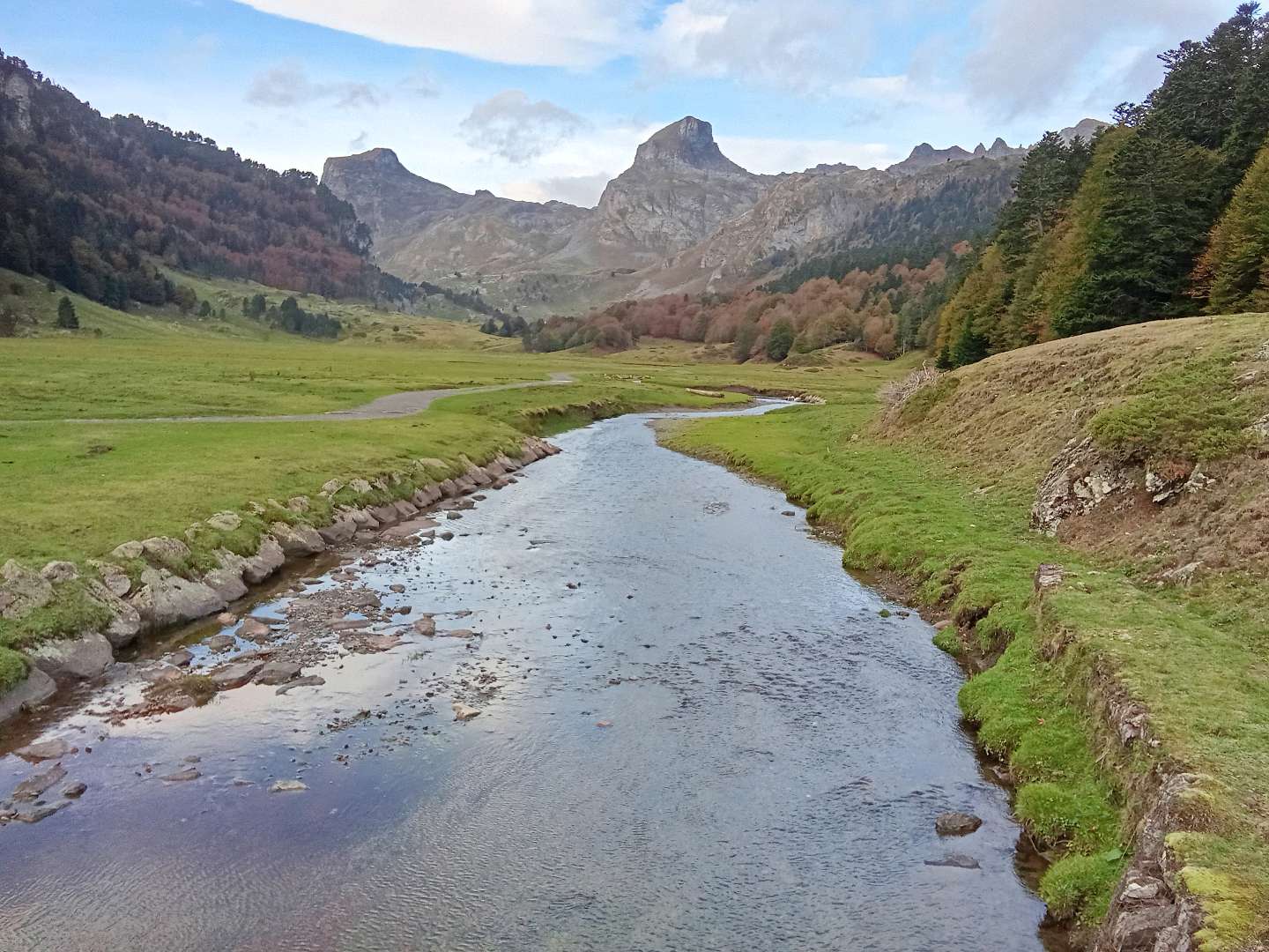
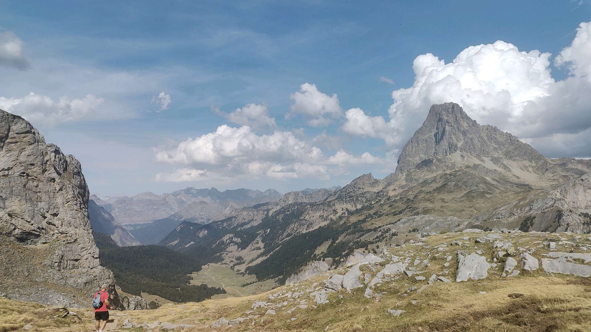
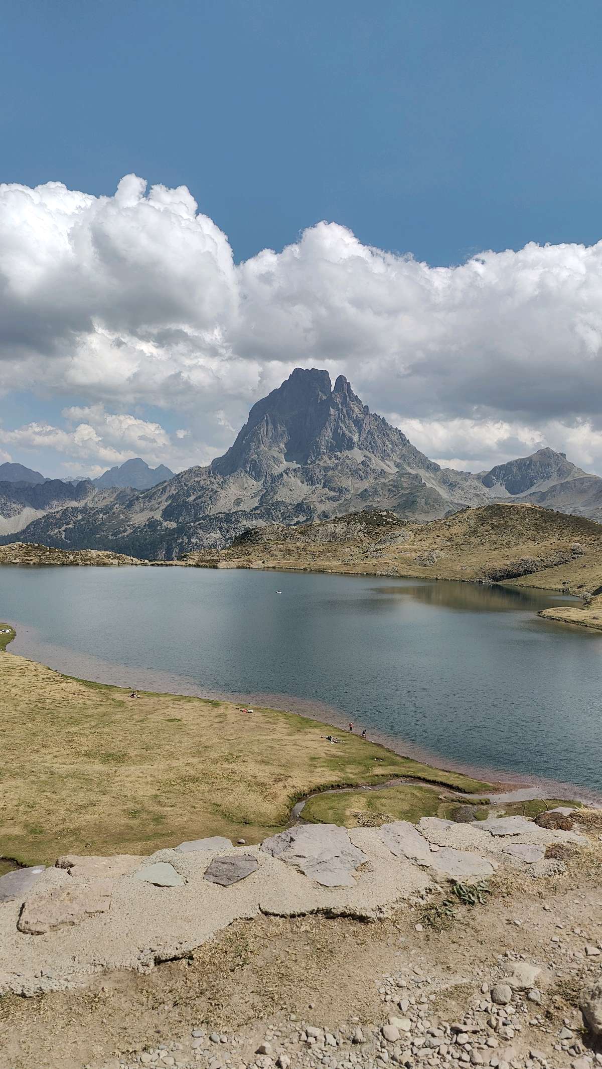
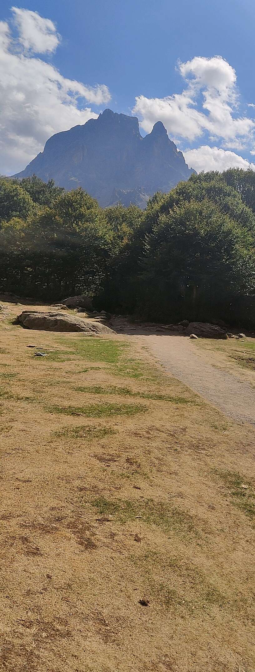
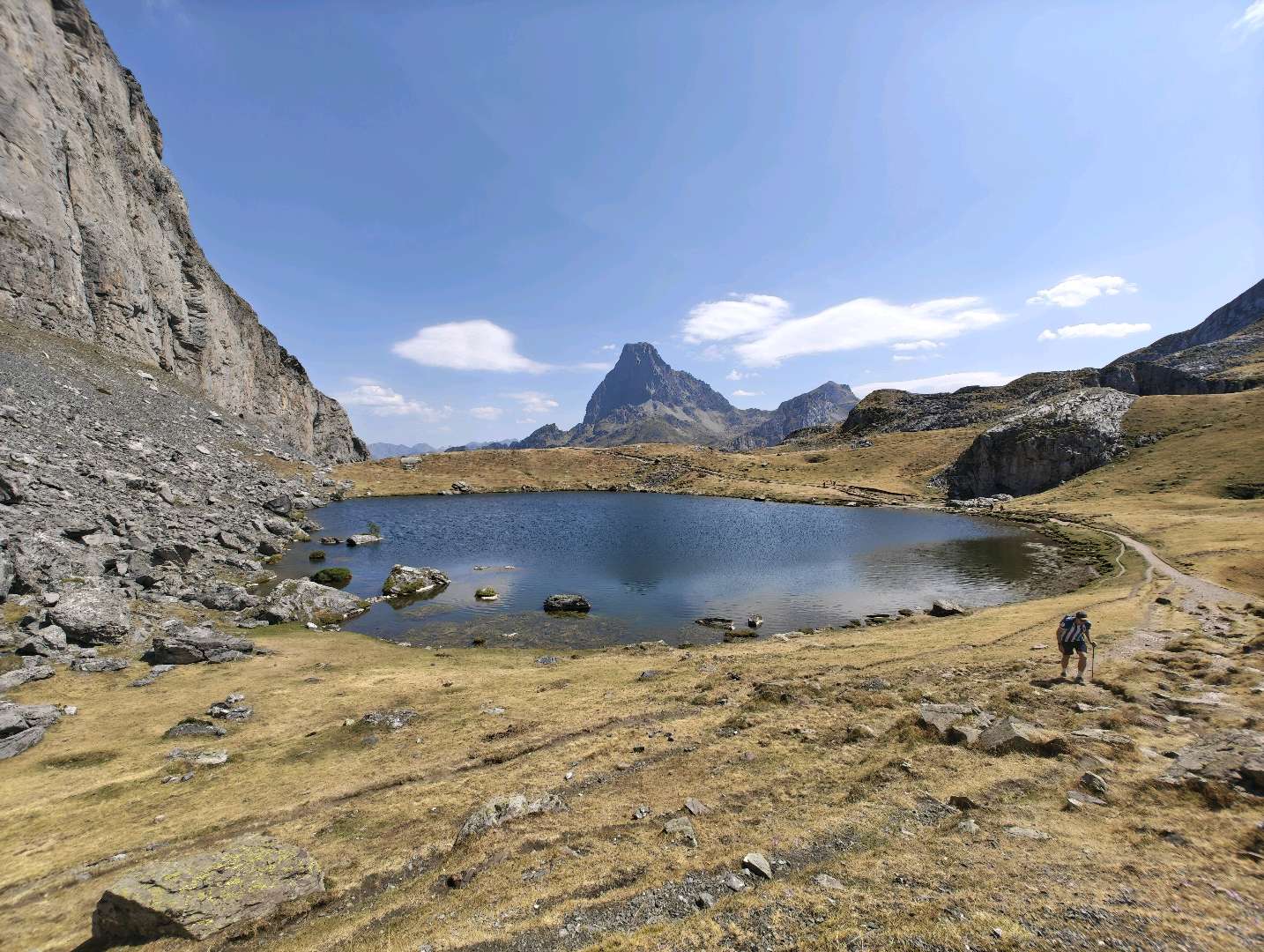
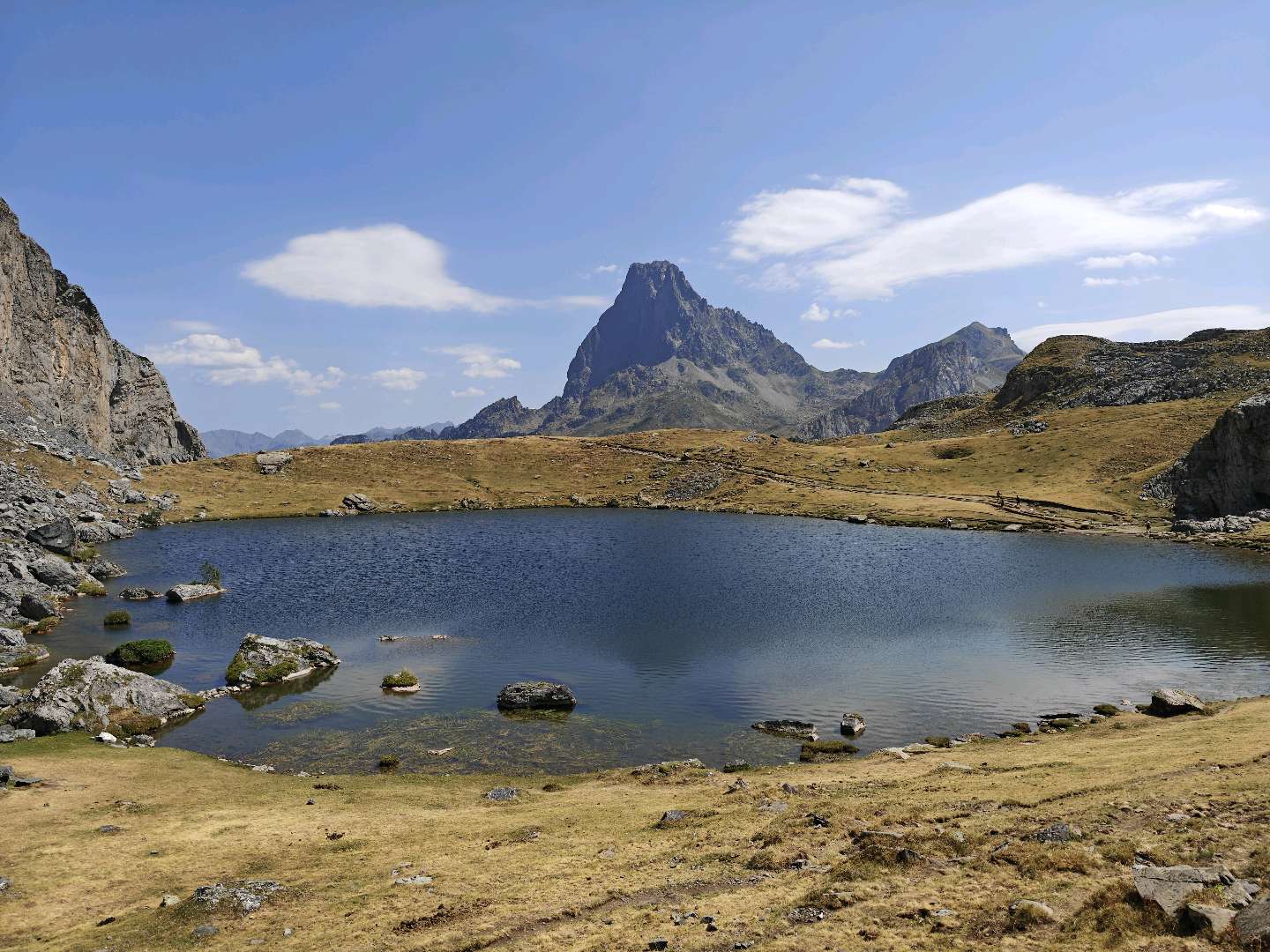
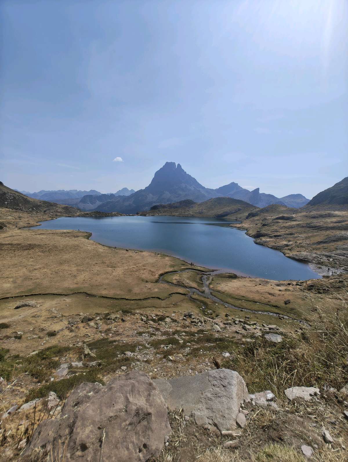
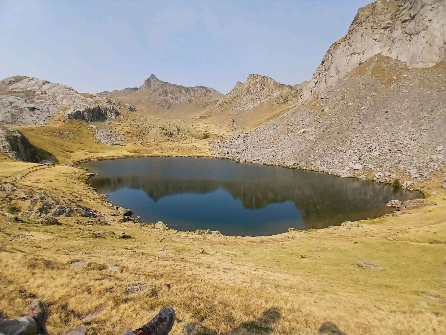
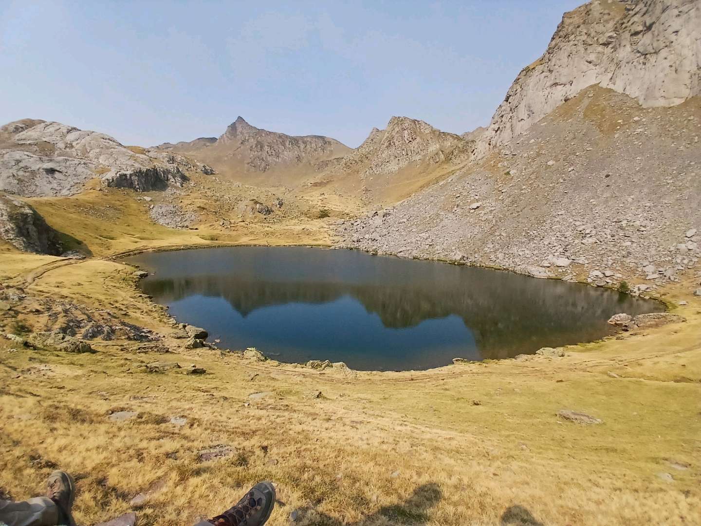
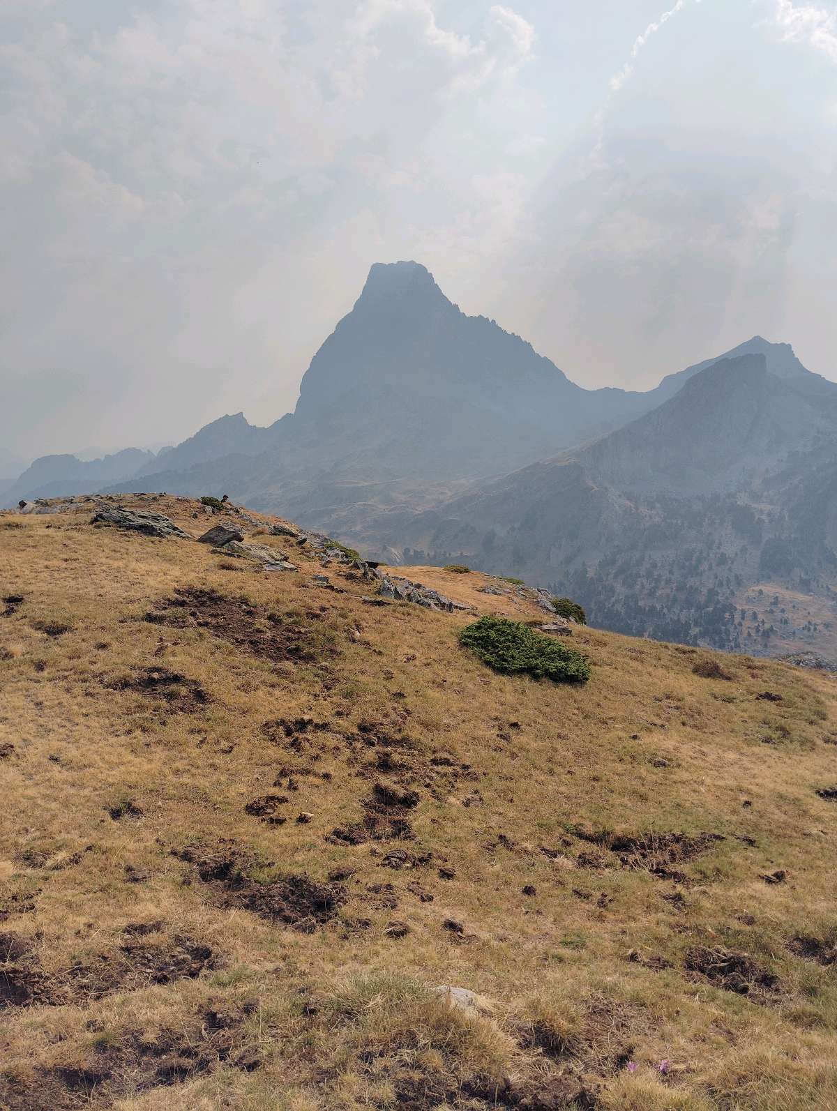
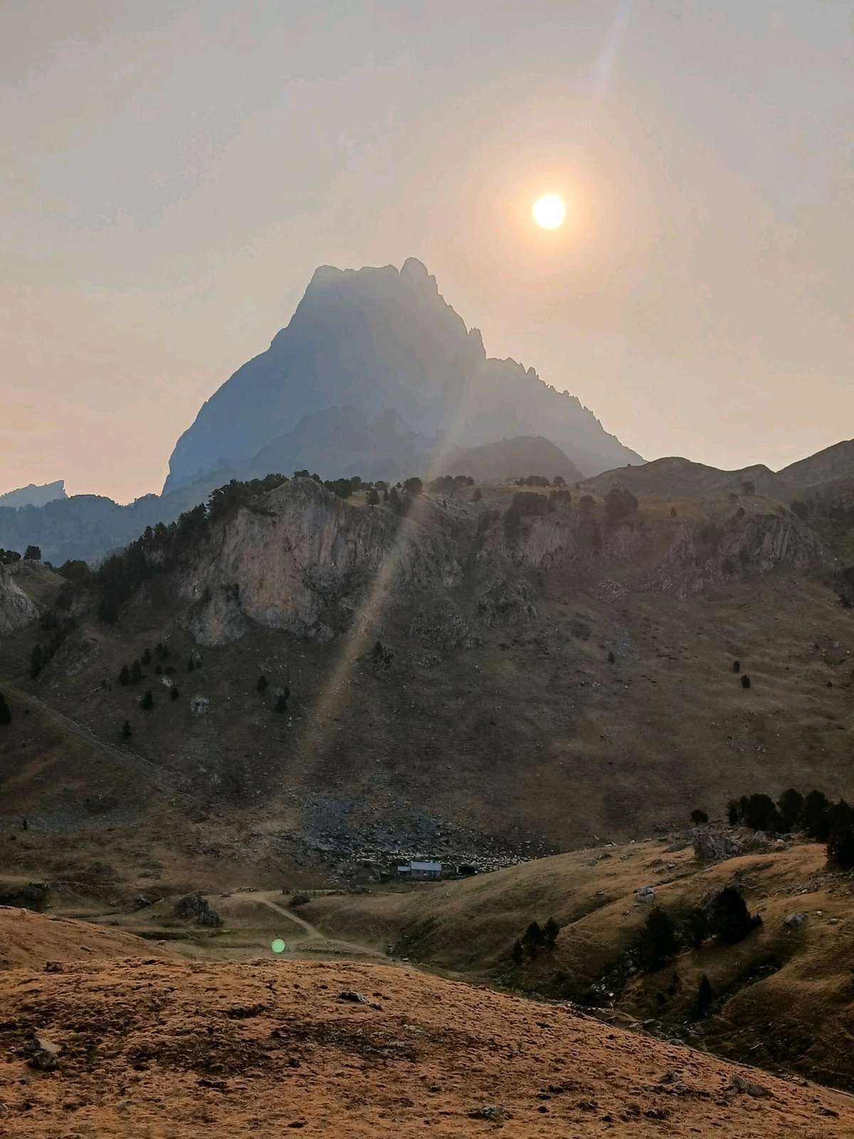
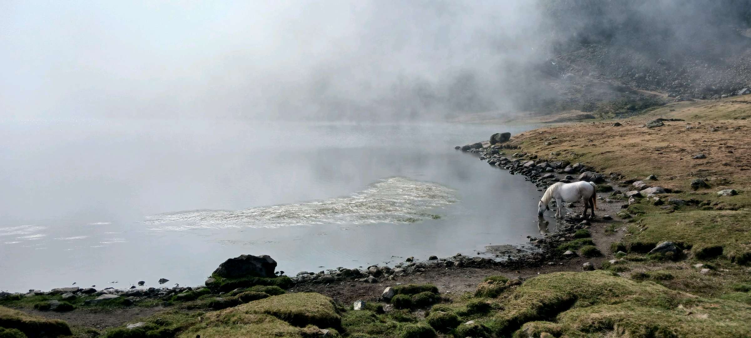
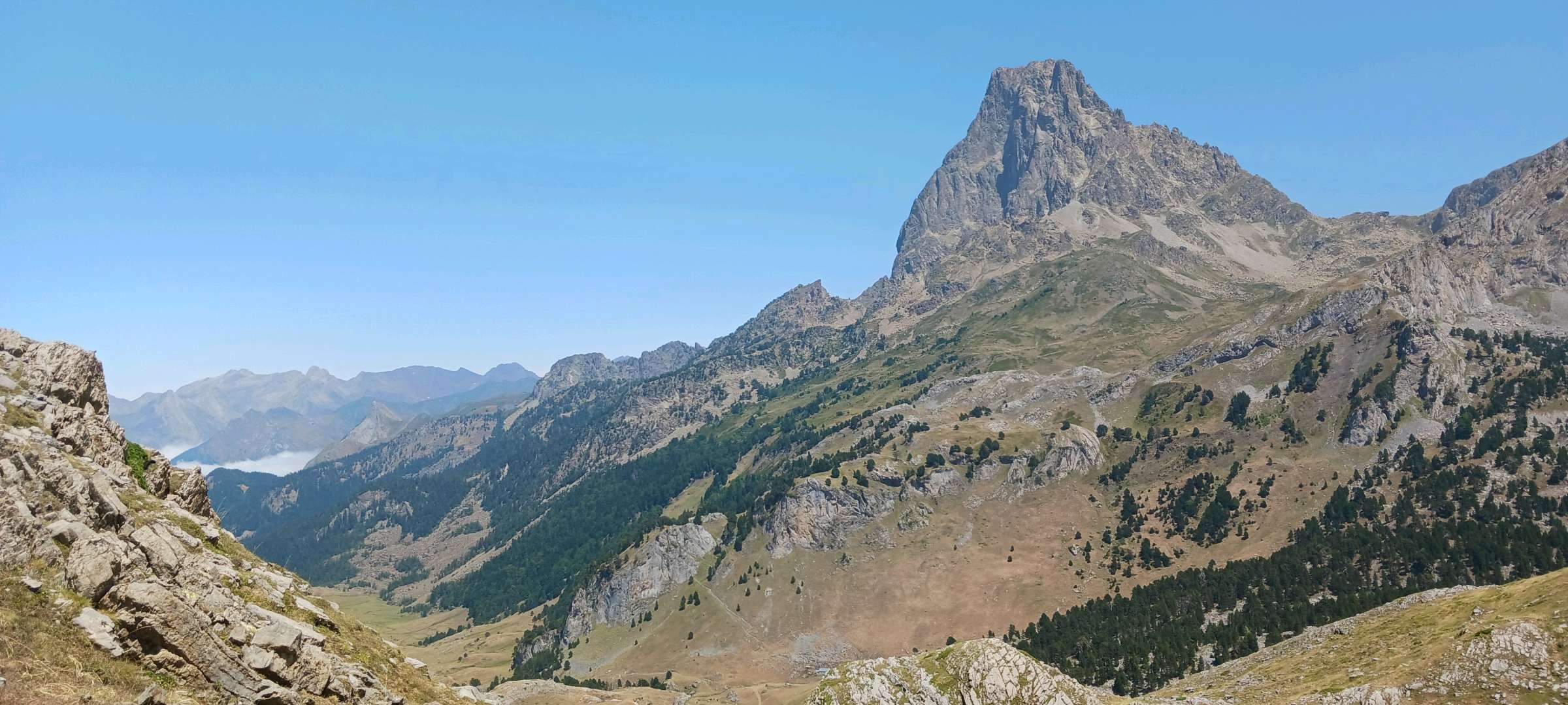
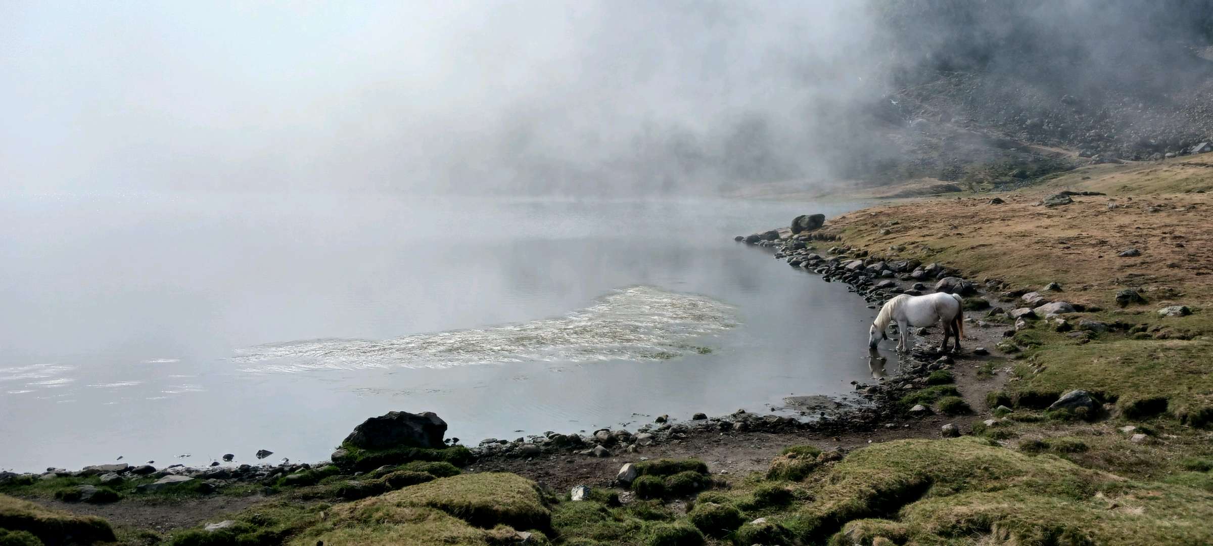
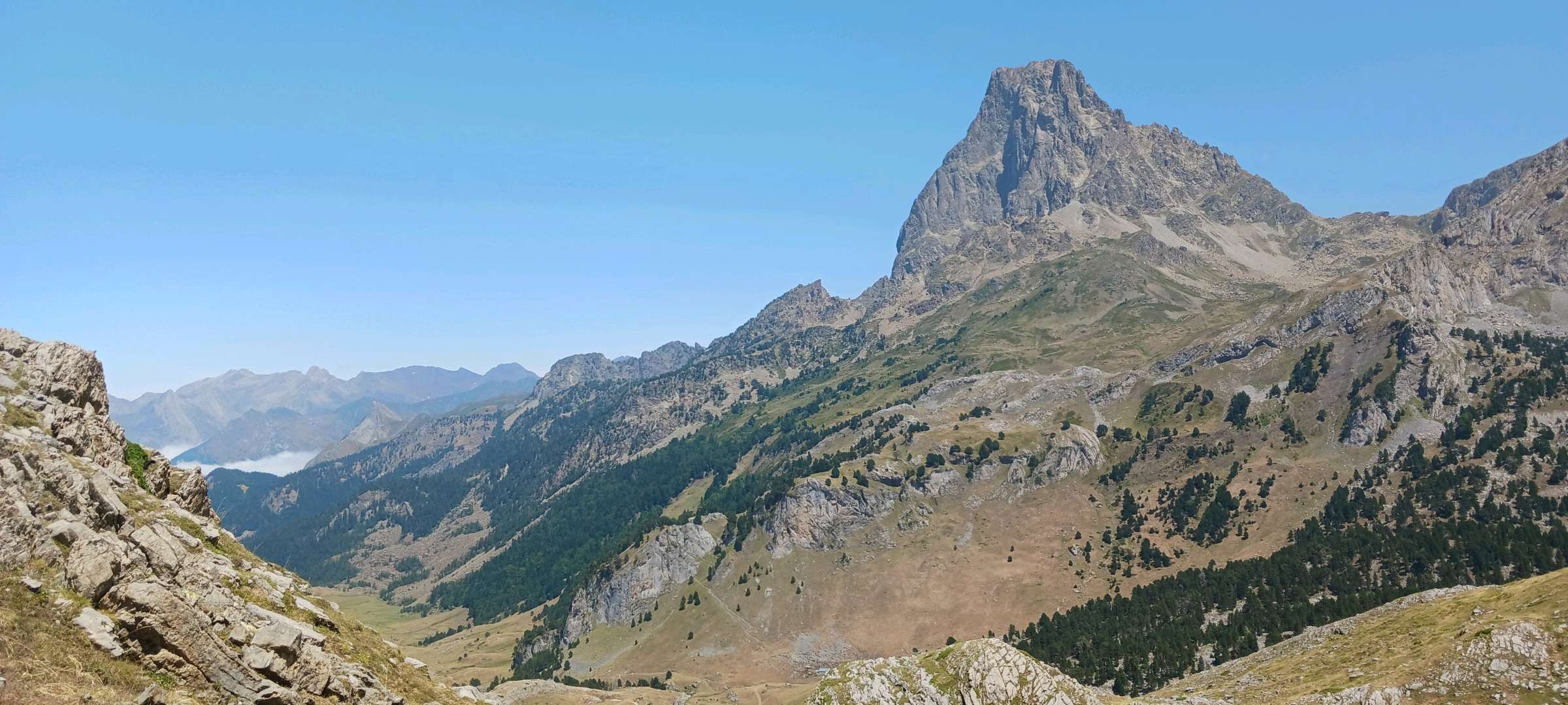
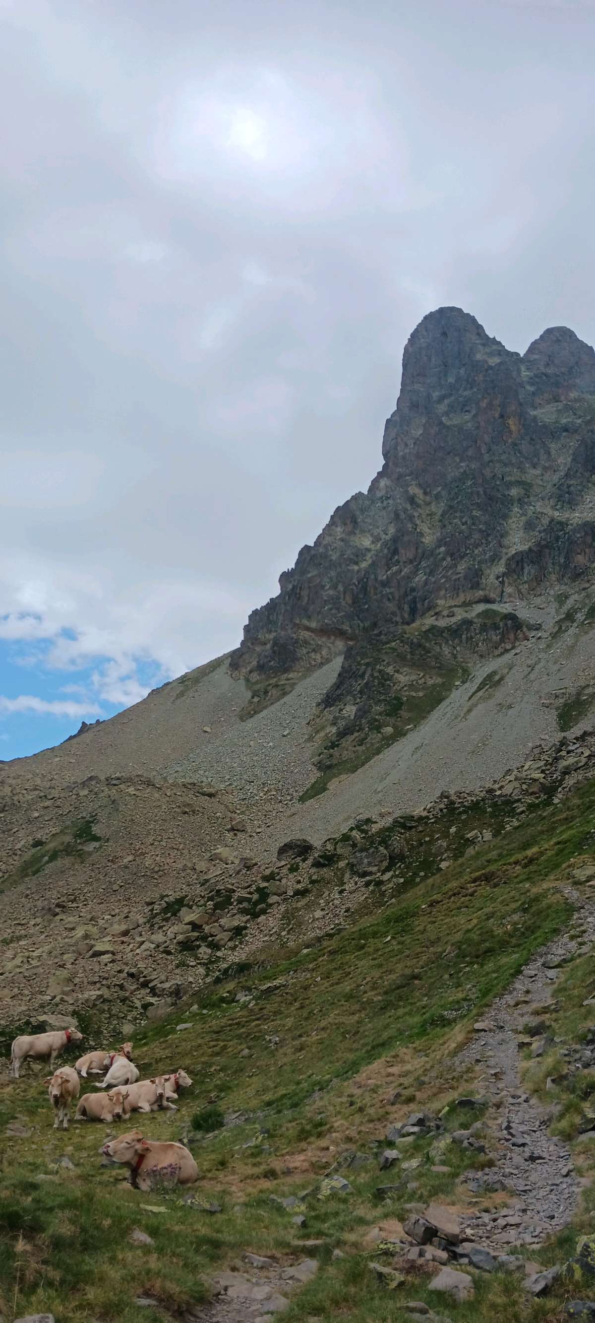
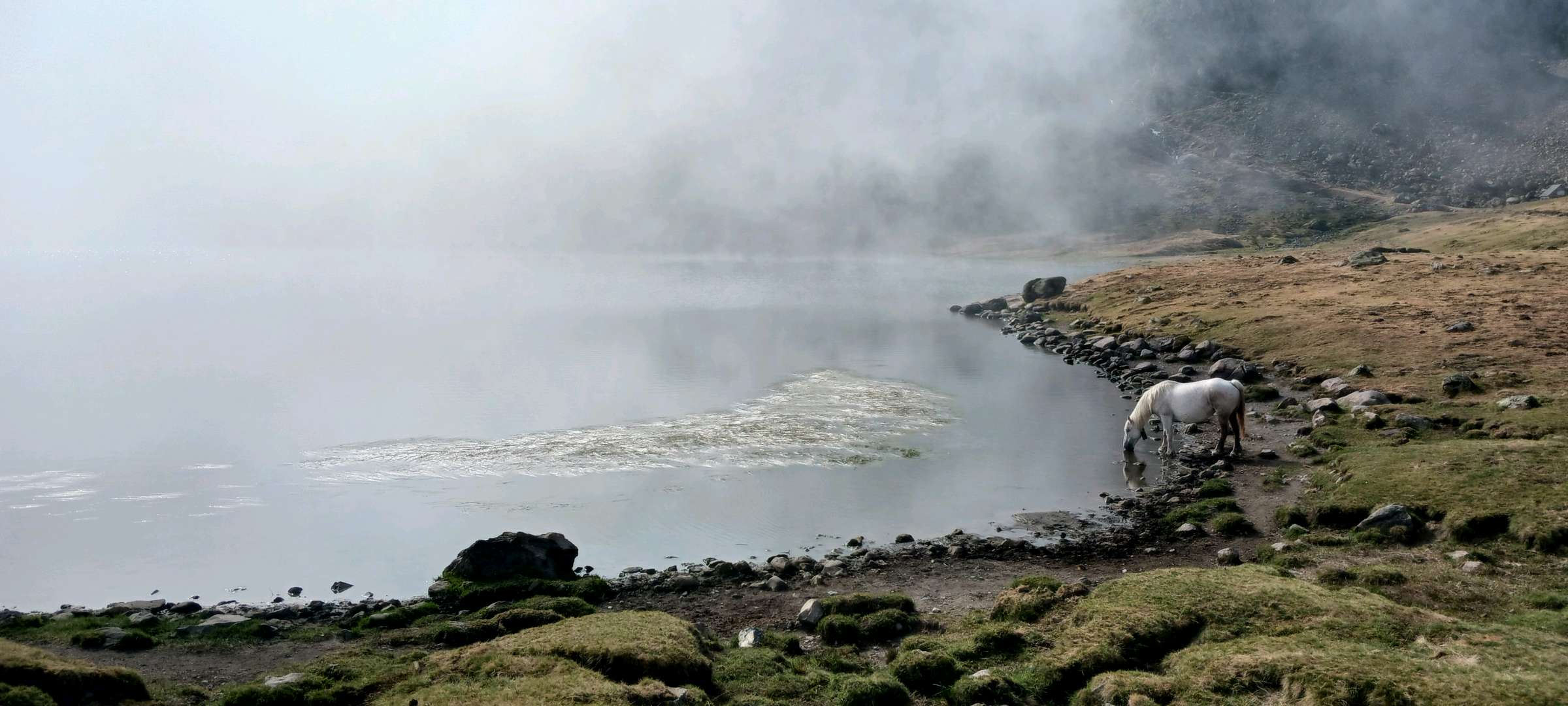
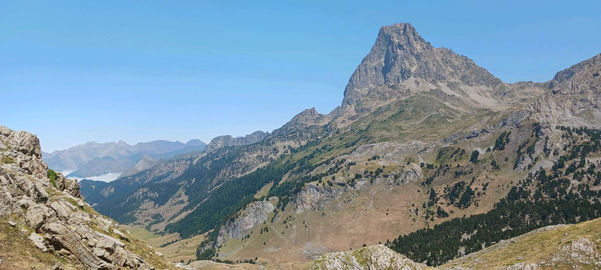
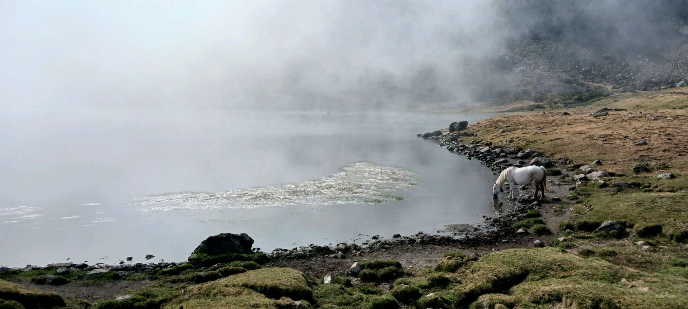
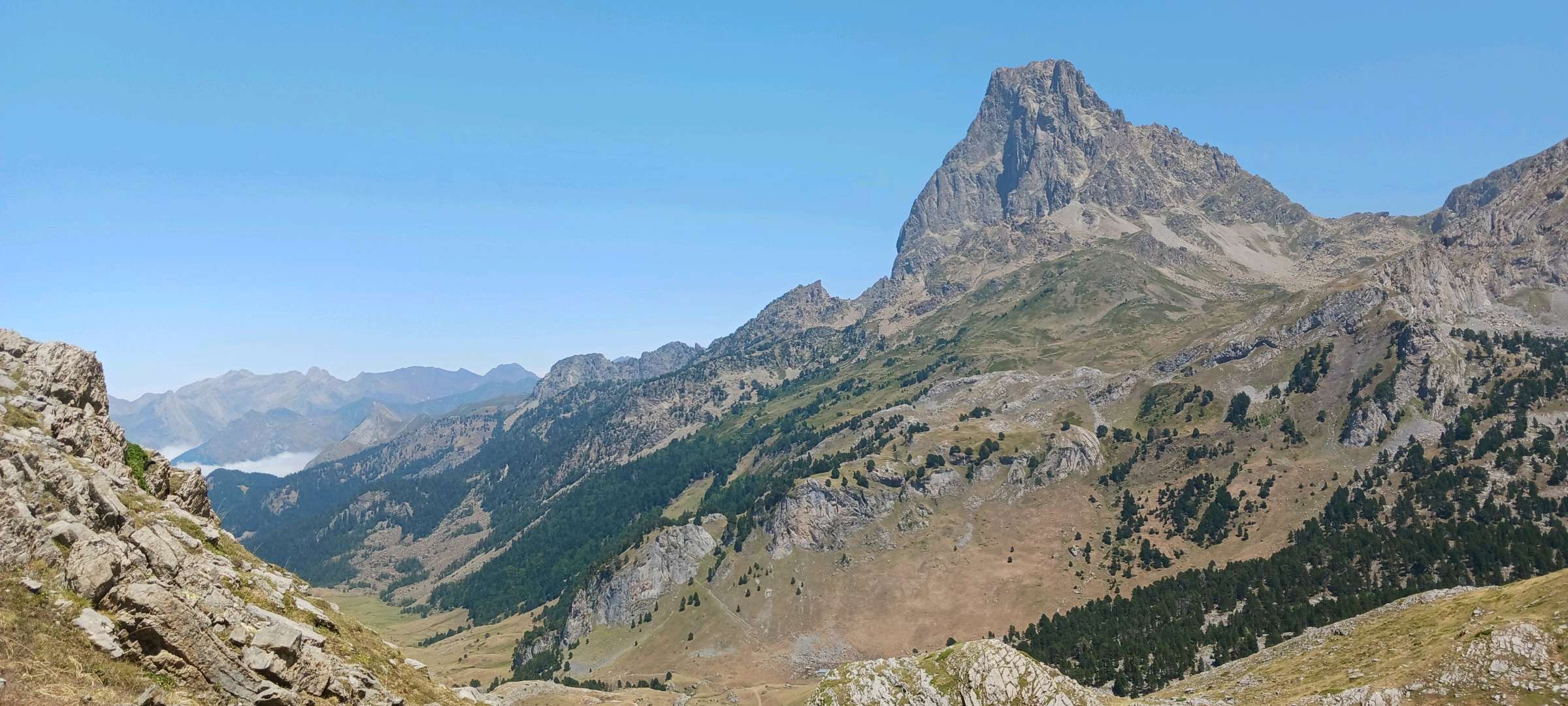
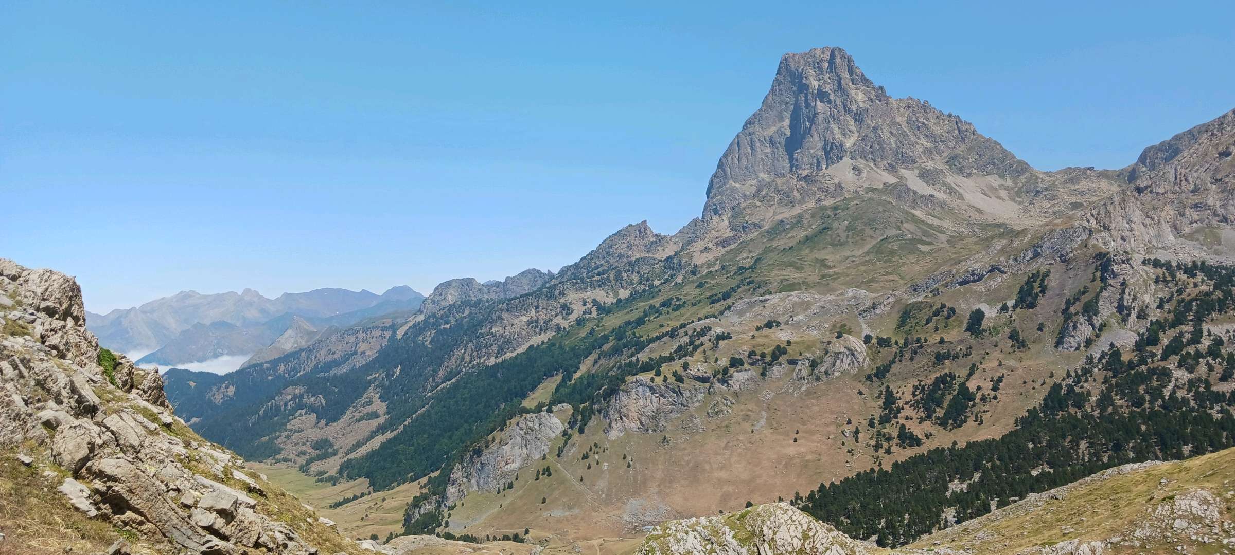
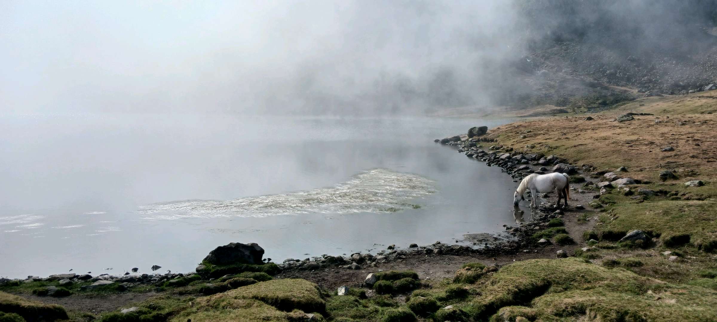
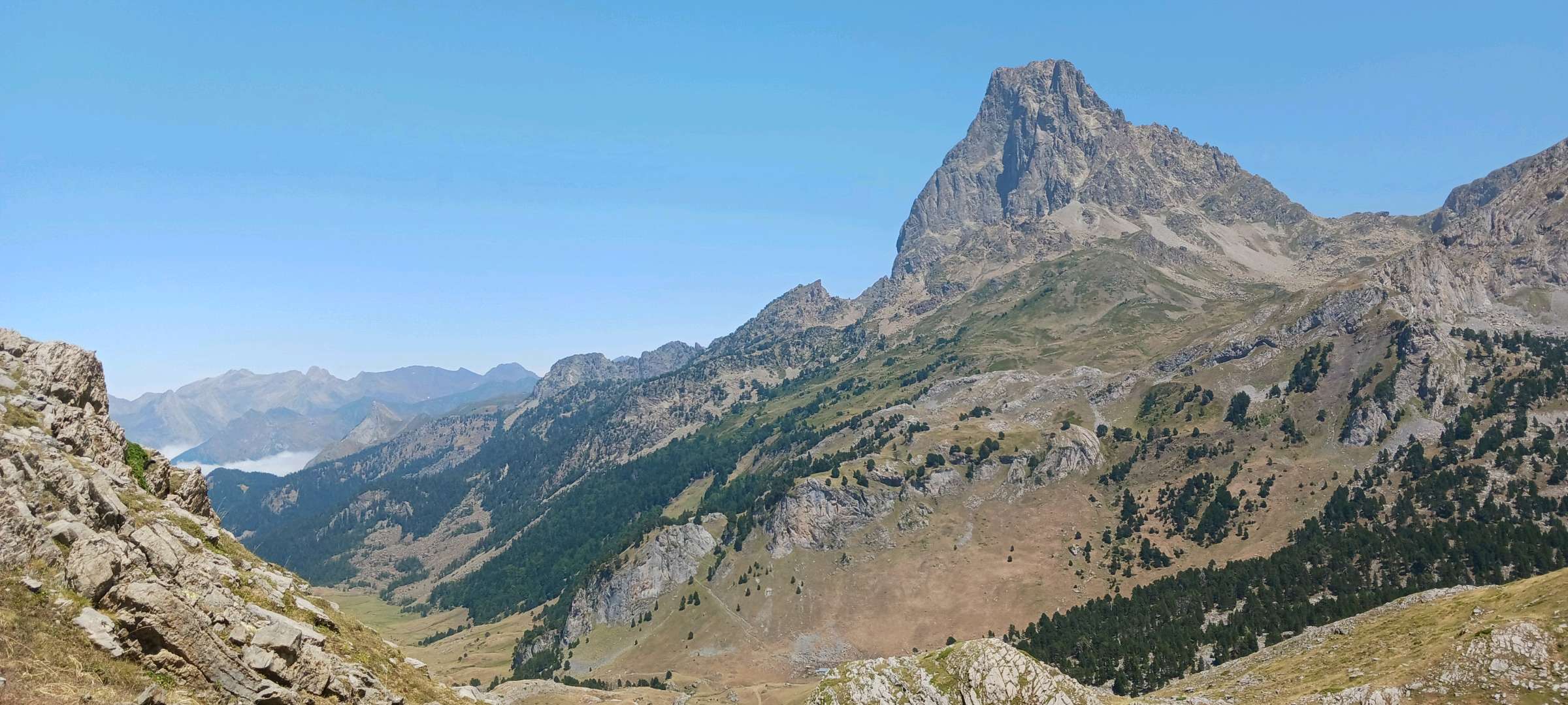
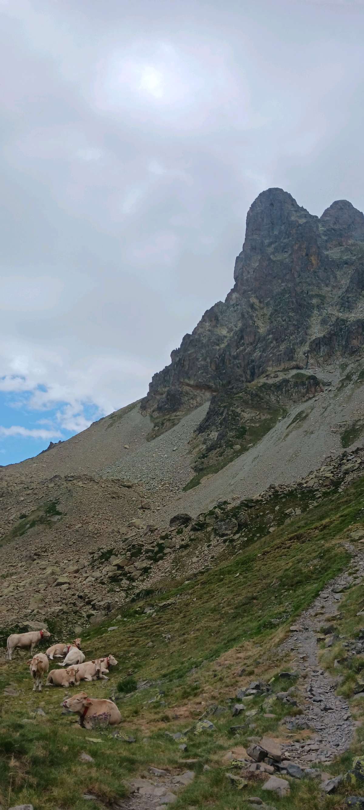
With their picture- postcard landscapes, the Ayous lakes are inseparable from the silhouette of the Pic du Midi d'Ossau reflected in these natural mirrors. This loop links four large lakes that lie at the foot of the north face of the peak. Its accessibility and the beautiful scenery will delight both novice and experienced hikers.
The characteristics of the route.

Bious-Artigues (64)
- Distance 14.3 km
- Elevation gain 720 m
- Elevation lost 720 m
- Min. elevation 1412 m
- Max. elevation. 2095 m
- Duration (depending on pace) 5h
- Marking balisage blanc et rouge sauf entre points 4 et 5
You may notice differences between the distance and elevation data displayed on the digital tools and the pdf file due to different data sources.
Report a problem
PDF-File-HIKING-41.Le tour des lacs d'Ayous The latest reviews & times

Musimon
The 2026/10/07
En savoir plus
MademoiselleG
The 2026/09/09
En savoir plus
coco_homard
The 2026/09/07
En savoir plus
laety_46
finished in 05:15:00
The 2026/09/01
En savoir plus
Tyconim
The 2026/08/19
En savoir plus
See all reviews & times
2026/09/09 MademoiselleG
2026/09/07 coco_homard
C'est magnifique. En partant du parking du bas, nous avons mis 8h mais en allant tout doucement. A faire absolument.
2026/08/13 ronamodo
2026/08/07 butz1906
2026/07/07 Risson
2026/07/02 jimmy4977
pensez à prévoir 8€ pour le parking

2025/08/07 06:00:00
Waner GERO
Waner GERO
superbe rando, faite en 6h (9h-15h) avec des enfants de 8/11/13 ans, avec de nombreuses pauses, une boisson au refuge et un pique nique à mi parcours. Les paysages sont superbes, les vues magnifiques, notamment sur le pic du midi d'Ossau. La montée par la forêt était la bienvenue, plus fraîche, et la vue dans la descente est très belle. Nous sommes baignés dans le lac à l'arrivée, prévoir les maillots de bain.
2025/07/21 09:00:00
BaiedeSomme80120
BaiedeSomme80120
incontournable ! exceptionnelle, nous n'avions plus de mot pour exprimer notre admiration pour cette randonnée. Ne la faites pas à l'envers... commencer par la forêt. 16km en partant du parking du bas. Plein de pauses, le chrono on s'en fiche un peu nous... Partis à 7h et pas grand monde du coup !
2024/07/13 Alys
Sur le premier lac à côté du parking du haut, ambiance familiale avec possibilité de faire du kayak et de manger une crêpe.
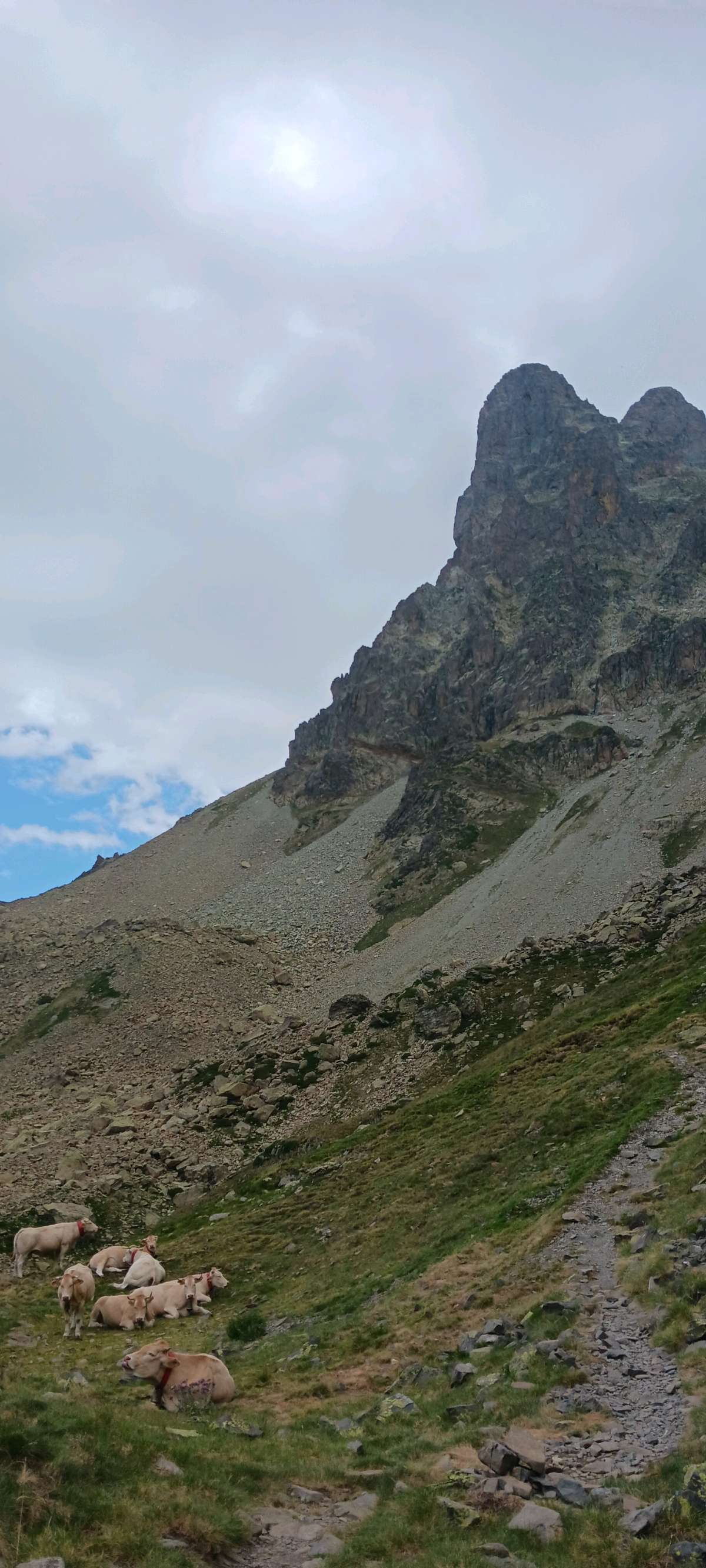
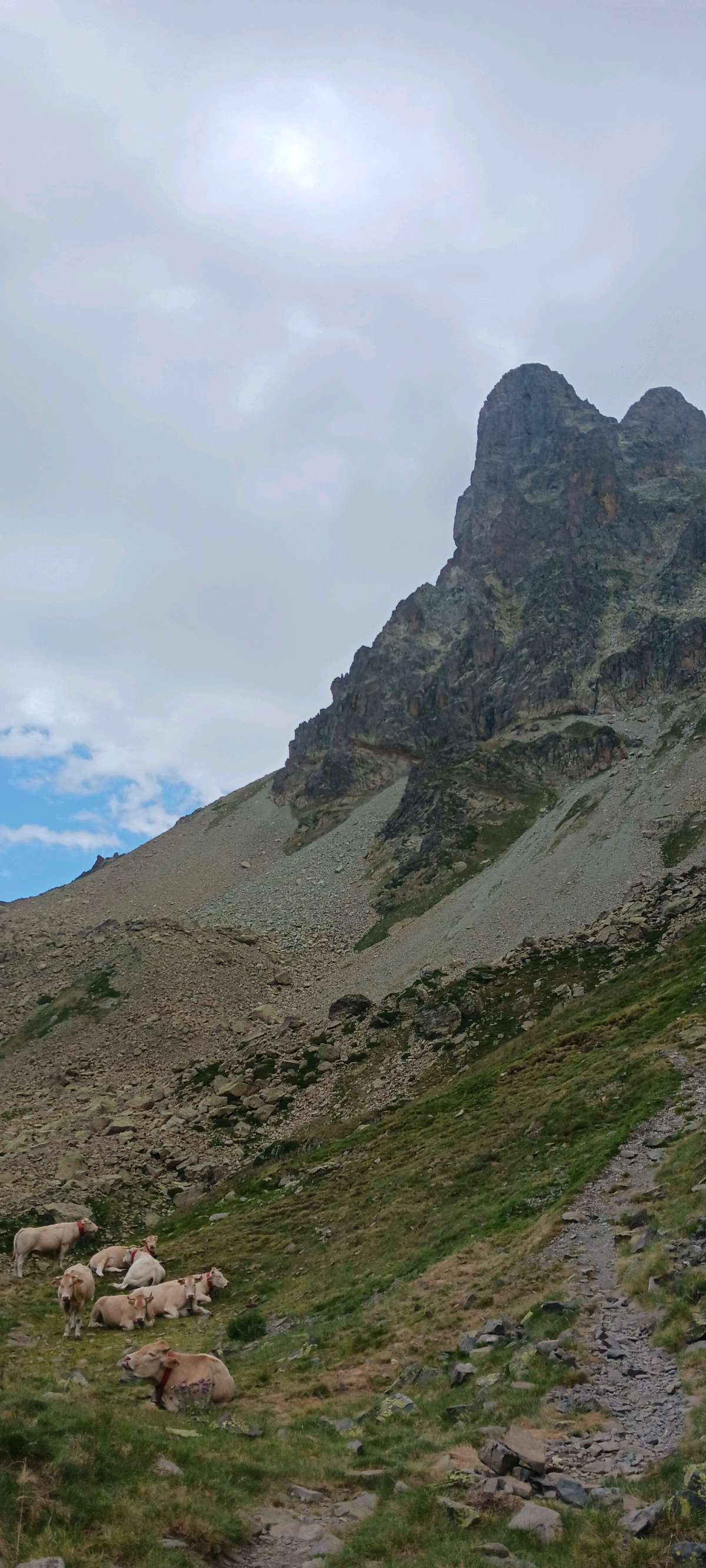
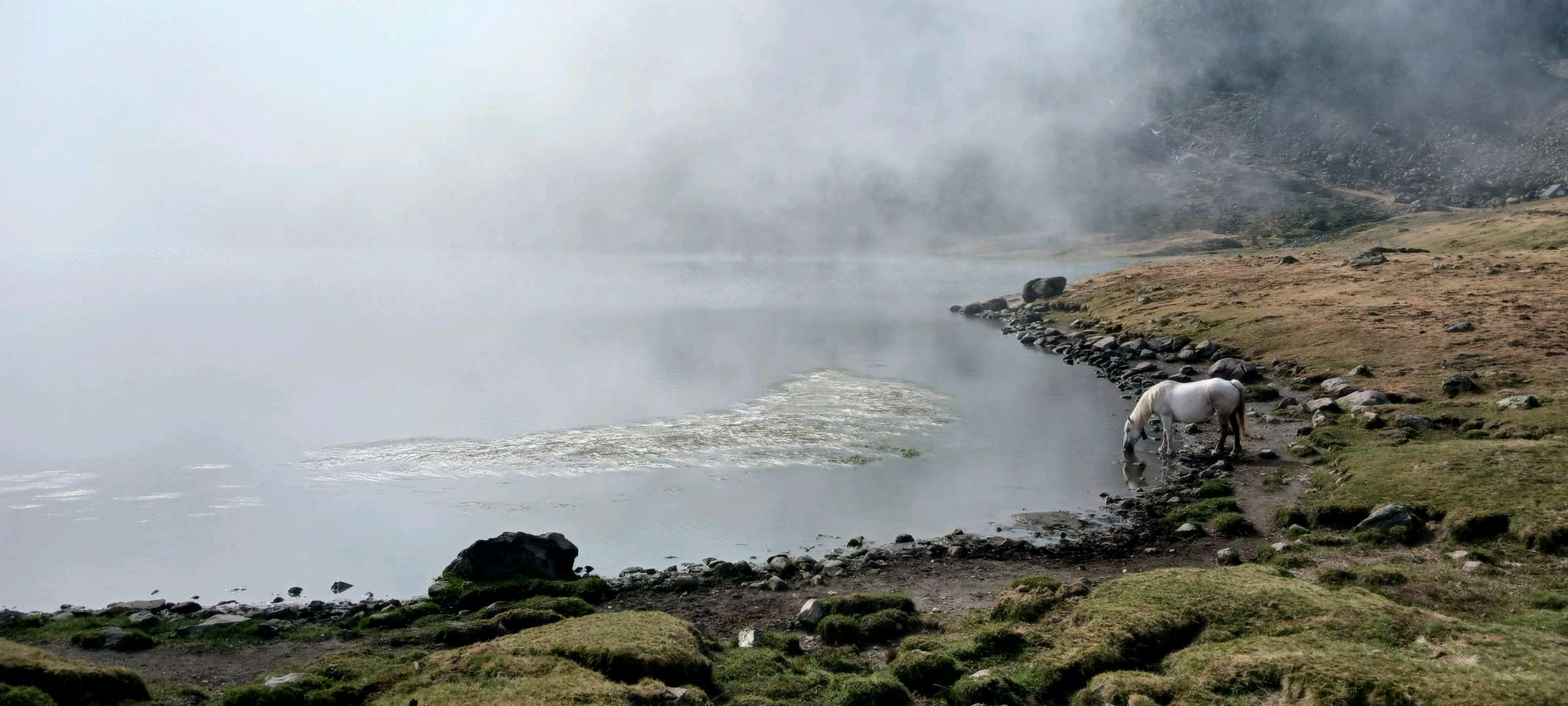
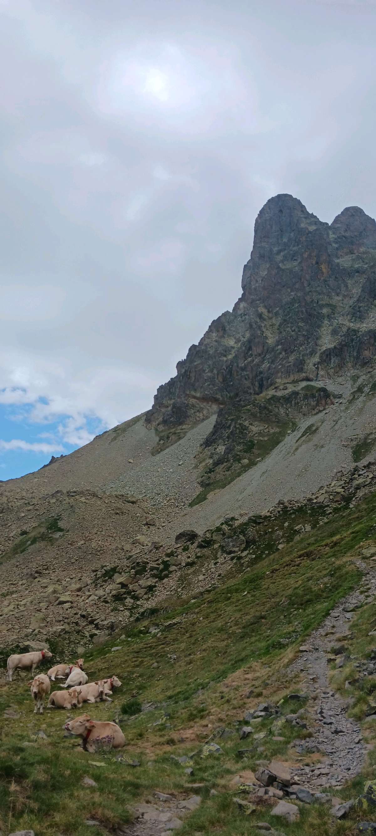
Puis, vous croiserez plusieurs lacs tout le long du parcours avec de magnifiques paysages. Nous y avons vu chevaux, vaches, moutons, patous, cochons, oiseaux et lézards, bref, une super randonnée pour les personnes qui aiment les animaux. Eau potable à mi-parcours et au refuge, où il y a également possibilité de manger.
2023/08/01 OlivierNantes
Randonnée faite en famille, ça passe très bien pour les 5 ans et plus, prévoir le sac à dos pour portage pour les enfants plus petits. Pas de passage dangereux. Moutons , chevaux, vaches et même cochons sur le trajet ????. Très beaux paysages. Nous sommes partis à 9h et avons fait la balade à l envers en remontant le gave . Ça monte moins fort. Déjeuner au lac casterau à 12h15. On repart à 13h et baignade au lac Gentau a 15h. Goûter et retour par des descentes raides en forêt. Arrivée à 18h au parking. Les enfants dorment au bout de 5 min dans la voiture... Très très belle promenade, peut être la plus belle du sejour. A noter : Parking payant 6.50euros la journée. Pas de réseau sur le parcours , prévoyez donc en conséquence.
2022/08/20 Aniket
Excellent trek to do with family.
2022/08/19 05:00:00
Aniket
Aniket
Excellent
2022/08/18 Dd94270
Randonnée époustouflante par ses paysages. La ballade est accessible aux familles, nous y avons croisé beaucoup d enfants. C est une très longue randonnée, la durée de 5 h est je pense sous estimée. De plus le parking du départ est très petit et donc vite rempli, on vous demandera alors de stationner sur le second parking en contrebas ce qui ajoutera une petite heure de marche aller retour.
2022/07/02 Marionn37
Magnifique randonnée faite le 1e juillet en famille, avec notre fils de 9 ans (habitué des randonnées et bon marcheur). Paysages incroyables, sous l'œil du Pic du Midi d'Ossau, et avec des vautours en vol. Magique !!!
Nous avons démarré la randonnée dans l'autre sens, donc avec le lac Casterau en premier. La montée me semble "plus douce" dans ce sens...
Nous avons mis 6h30 pour faire la boucle, en comptant la pause pique nique et les arrêts photos. Le lac Bersau est le point le plus haut, après lui c'est la descente.
Pas de passage dangereux, randonnée tout à fait accessible au famille, mais il ne faut pas avoir peur de grimper (3h environ au total), une fois la haut c'est incroyable ! Une des plus belles randonnées que j'ai pu faire
2026/10/07 Musimon
Belle rando, faite en sens inverse, pour faire la montée plus sèche et la descente plus douce. Belle succession de lacs et belle vue sur le Pic du midi d'Ossau.
2026/09/09 MademoiselleG
2026/09/07 coco_homard
C'est magnifique. En partant du parking du bas, nous avons mis 8h mais en allant tout doucement. A faire absolument.
2026/08/13 ronamodo
2026/08/07 butz1906
2026/07/31 ioga17
j'ai fait la boucle au 3/4 en jumelant ma rando avec le tour du pic d'Ossau! c'est génial à faire mais attention c'est plus très exigeant donc pour randonneur ++ j'ai boucle le tour de l'ossau et des lac en un peu près 8h en étant pas pressé et avec des pause.
2026/07/31 ioga17
j'ai fait la boucle au 3/4 en jumelant ma rando avec le tour du pic d'Ossau! c'est génial à faire mais attention c'est plus très exigeant donc pour randonneur ++ j'ai boucle le tour de l'ossau et des lac en un peu près 8h en étant pas pressé et avec des pause.
2026/07/31 ioga17
j'ai fait la boucle au 3/4 en jumelant ma rando avec le tour du pic d'Ossau! c'est génial à faire mais attention c'est plus très exigeant donc pour randonneur ++ j'ai boucle le tour de l'ossau et des lac en un peu près 8h en étant pas pressé et avec des pause.
2026/07/31 ioga17
j'ai fait la boucle au 3/4 en jumelant ma rando avec le tour du pic d'Ossau! c'est génial à faire mais attention c'est plus très exigeant donc pour randonneur ++ j'ai boucle le tour de l'ossau et des lac en un peu près 8h en étant pas pressé et avec des pause.
2026/07/31 ioga17
j'ai fait la boucle au 3/4 en jumelant ma rando avec le tour du pic d'Ossau! c'est génial à faire mais attention c'est plus très exigeant donc pour randonneur ++ j'ai boucle le tour de l'ossau et des lac en un peu près 8h en étant pas pressé et avec des pause.
2026/07/31 ioga17
j'ai fait la boucle au 3/4 en jumelant ma rando avec le tour du pic d'Ossau! c'est génial à faire mais attention c'est plus très exigeant donc pour randonneur ++ j'ai boucle le tour de l'ossau et des lac en un peu près 8h en étant pas pressé et avec des pause.
2026/07/07 Risson
2026/07/02 jimmy4977
pensez à prévoir 8€ pour le parking
2025/10/24 xhlomlt
Super randonnée avec de magnifiques paysages. Bien balisé dans l’ensemble, même si il y a quelques sentiers plus technique. Nous avons mis 5h pour faire le tour.
2025/08/07 06:00:00
Waner GERO
Waner GERO
superbe rando, faite en 6h (9h-15h) avec des enfants de 8/11/13 ans, avec de nombreuses pauses, une boisson au refuge et un pique nique à mi parcours. Les paysages sont superbes, les vues magnifiques, notamment sur le pic du midi d'Ossau. La montée par la forêt était la bienvenue, plus fraîche, et la vue dans la descente est très belle. Nous sommes baignés dans le lac à l'arrivée, prévoir les maillots de bain.
2025/07/21 09:00:00
BaiedeSomme80120
BaiedeSomme80120
incontournable ! exceptionnelle, nous n'avions plus de mot pour exprimer notre admiration pour cette randonnée. Ne la faites pas à l'envers... commencer par la forêt. 16km en partant du parking du bas. Plein de pauses, le chrono on s'en fiche un peu nous... Partis à 7h et pas grand monde du coup !
2024/07/13 Alys
Sur le premier lac à côté du parking du haut, ambiance familiale avec possibilité de faire du kayak et de manger une crêpe.
Puis, vous croiserez plusieurs lacs tout le long du parcours avec de magnifiques paysages. Nous y avons vu chevaux, vaches, moutons, patous, cochons, oiseaux et lézards, bref, une super randonnée pour les personnes qui aiment les animaux. Eau potable à mi-parcours et au refuge, où il y a également possibilité de manger.
2023/08/01 OlivierNantes
Randonnée faite en famille, ça passe très bien pour les 5 ans et plus, prévoir le sac à dos pour portage pour les enfants plus petits. Pas de passage dangereux. Moutons , chevaux, vaches et même cochons sur le trajet ????. Très beaux paysages. Nous sommes partis à 9h et avons fait la balade à l envers en remontant le gave . Ça monte moins fort. Déjeuner au lac casterau à 12h15. On repart à 13h et baignade au lac Gentau a 15h. Goûter et retour par des descentes raides en forêt. Arrivée à 18h au parking. Les enfants dorment au bout de 5 min dans la voiture... Très très belle promenade, peut être la plus belle du sejour. A noter : Parking payant 6.50euros la journée. Pas de réseau sur le parcours , prévoyez donc en conséquence.
2022/08/20 Aniket
Excellent trek to do with family.
2022/08/19 05:00:00
Aniket
Aniket
Excellent
2022/08/18 Dd94270
Randonnée époustouflante par ses paysages. La ballade est accessible aux familles, nous y avons croisé beaucoup d enfants. C est une très longue randonnée, la durée de 5 h est je pense sous estimée. De plus le parking du départ est très petit et donc vite rempli, on vous demandera alors de stationner sur le second parking en contrebas ce qui ajoutera une petite heure de marche aller retour.
2022/07/02 Marionn37
Magnifique randonnée faite le 1e juillet en famille, avec notre fils de 9 ans (habitué des randonnées et bon marcheur). Paysages incroyables, sous l'œil du Pic du Midi d'Ossau, et avec des vautours en vol. Magique !!!
Nous avons démarré la randonnée dans l'autre sens, donc avec le lac Casterau en premier. La montée me semble "plus douce" dans ce sens...
Nous avons mis 6h30 pour faire la boucle, en comptant la pause pique nique et les arrêts photos. Le lac Bersau est le point le plus haut, après lui c'est la descente.
Pas de passage dangereux, randonnée tout à fait accessible au famille, mais il ne faut pas avoir peur de grimper (3h environ au total), une fois la haut c'est incroyable ! Une des plus belles randonnées que j'ai pu faire
Services nearby

Bious Pagayous - Canoë Kayak
GABAS

L'Estibère
GABAS
Refuge de Pombie
COL-DU-POURTALET

Artouste charging station
Artouste
Hébergement Associatif Béarn Pont de Camps
PONT-DE-CAMPS


Follow us on
the digital trails
the digital trails


The Ossau Valley Tourist Office
Welcome desk of Laruns
Maison de la Vallée d’Ossau – 64 440 LARUNS
+33(0)5 59 05 31 41
Tourist Office
 Ossau valley Land of adventures - Parcours - Circuit 41. Le tour des lacs d'Ayous
Hello, world! This is a toast message.
Ossau valley Land of adventures - Parcours - Circuit 41. Le tour des lacs d'Ayous
Hello, world! This is a toast message.
Ossau valley Land of adventures - Parcours - Circuit 41. Le tour des lacs d'Ayous
Hello, world! This is a toast message.




OK
Annuler