Circuit 42. La cabane de Chérue
Add to my favorites

Route opened
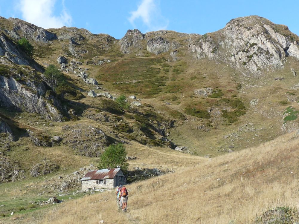
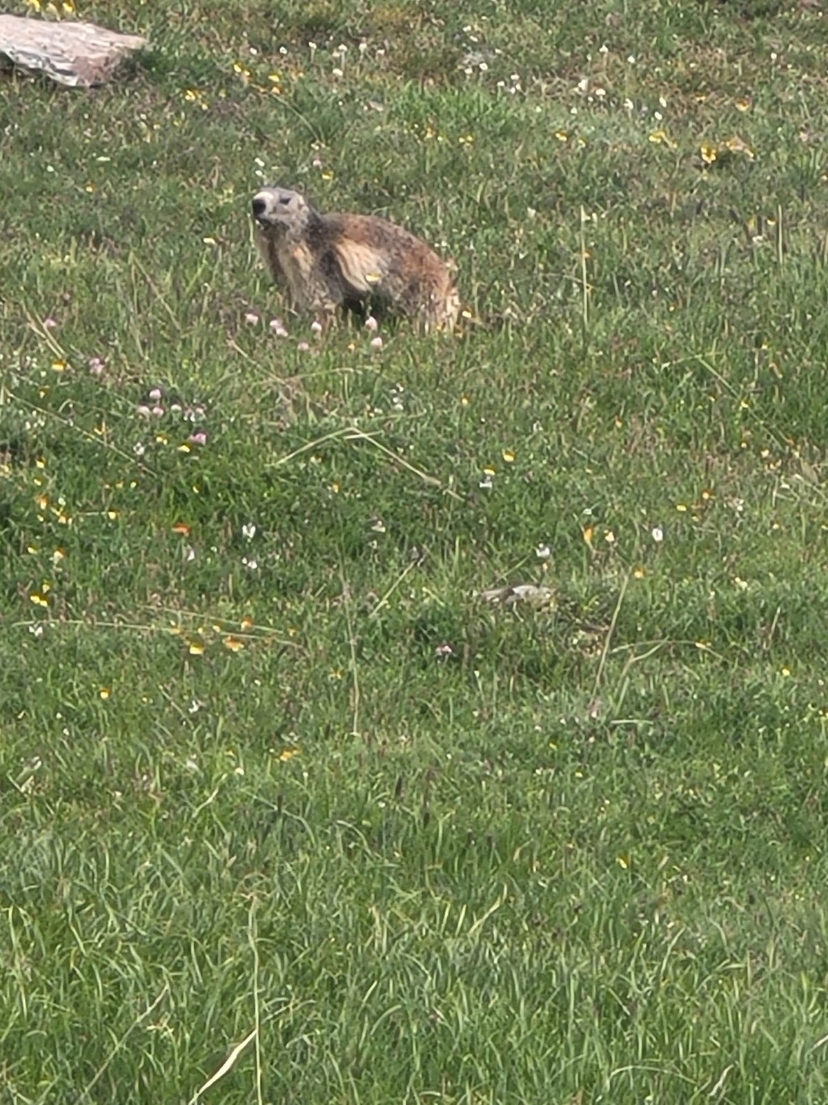
Nestled at the foot of the Pic de Chérue, the hut of the same name is the ideal little refuge that looks like something from a watercolour of a mountain. Topping off this dreamy setting, are the isards and marmots frolicking through flowery pastures, under the the majestic flight of griffon vultures. You will love it!
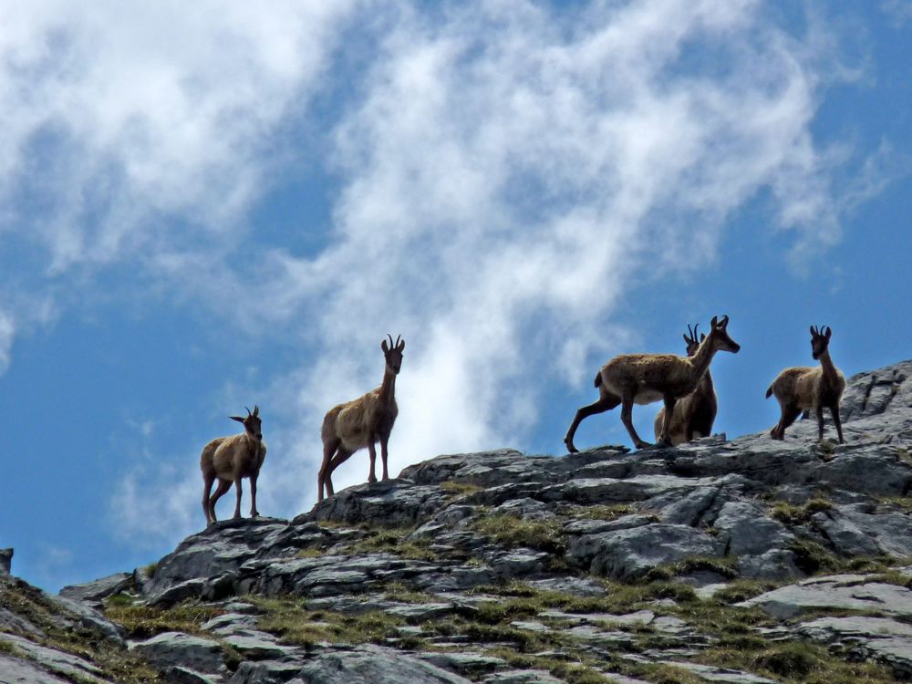
During the Ice Age, a prehistoric chamois inhabited Europe. As the glaciers retreated, the population was split in two, resulting in the chamois in the Alps and the isard in the Pyrenees and Cantabrian Mountains. This ungulate, a cousin of the gazelle, is emblematic of Pyrenean heritage, and is wonderfully equipped for life at altitude. Hollow hairs for maximum insulation, a slow pulse for running, hooves hard on the outside like ski edges, soft on the inside like climbing shoes, allow them to do great acrobatics on the snow, rocks and the steepest grassy slopes.The characteristics of the route.

D934/ Lac de Fabrèges (64)
- Distance 5.68 km
- Elevation gain 560 m
- Elevation lost 560 m
- Min. elevation 1250 m
- Max. elevation. 1809 m
- Duration (depending on pace) 3h
- Marking panneaux directionnels, pas de balisage
You may notice differences between the distance and elevation data displayed on the digital tools and the pdf file due to different data sources.
Report a problem
PDF-File-HIKING-42.La cabane de Chérue 
lesroidelapero
finished in 03:15:00
The 2026/07/23
En savoir plus
Ajouter votre chrono et partager vos sensations
Services nearby
Artouste charging station
Artouste

Restaurant Le Panoramic
ARTOUSTE
L'Estibère
GABAS
Hébergement Associatif Béarn Pont de Camps
PONT-DE-CAMPS

Bious Pagayous - Canoë Kayak
GABAS


Follow us on
the digital trails
the digital trails


The Ossau Valley Tourist Office
Welcome desk of Laruns
Maison de la Vallée d’Ossau – 64 440 LARUNS
+33(0)5 59 05 31 41
Tourist Office
 Ossau valley Land of adventures - Parcours - Circuit 42. La cabane de Chérue
Hello, world! This is a toast message.
Ossau valley Land of adventures - Parcours - Circuit 42. La cabane de Chérue
Hello, world! This is a toast message.
Ossau valley Land of adventures - Parcours - Circuit 42. La cabane de Chérue
Hello, world! This is a toast message.


OK
Annuler