Circuit 49. Le col de Peyrelue
Add to my favorites

Route opened

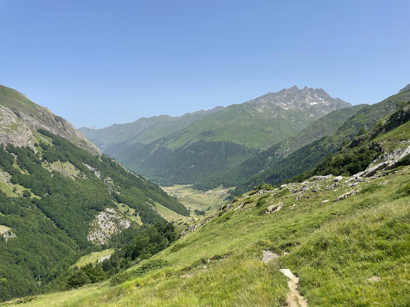
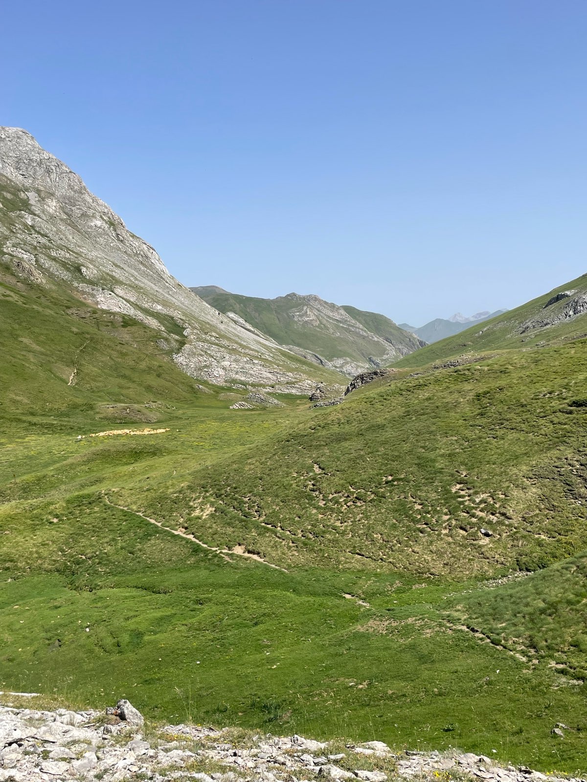
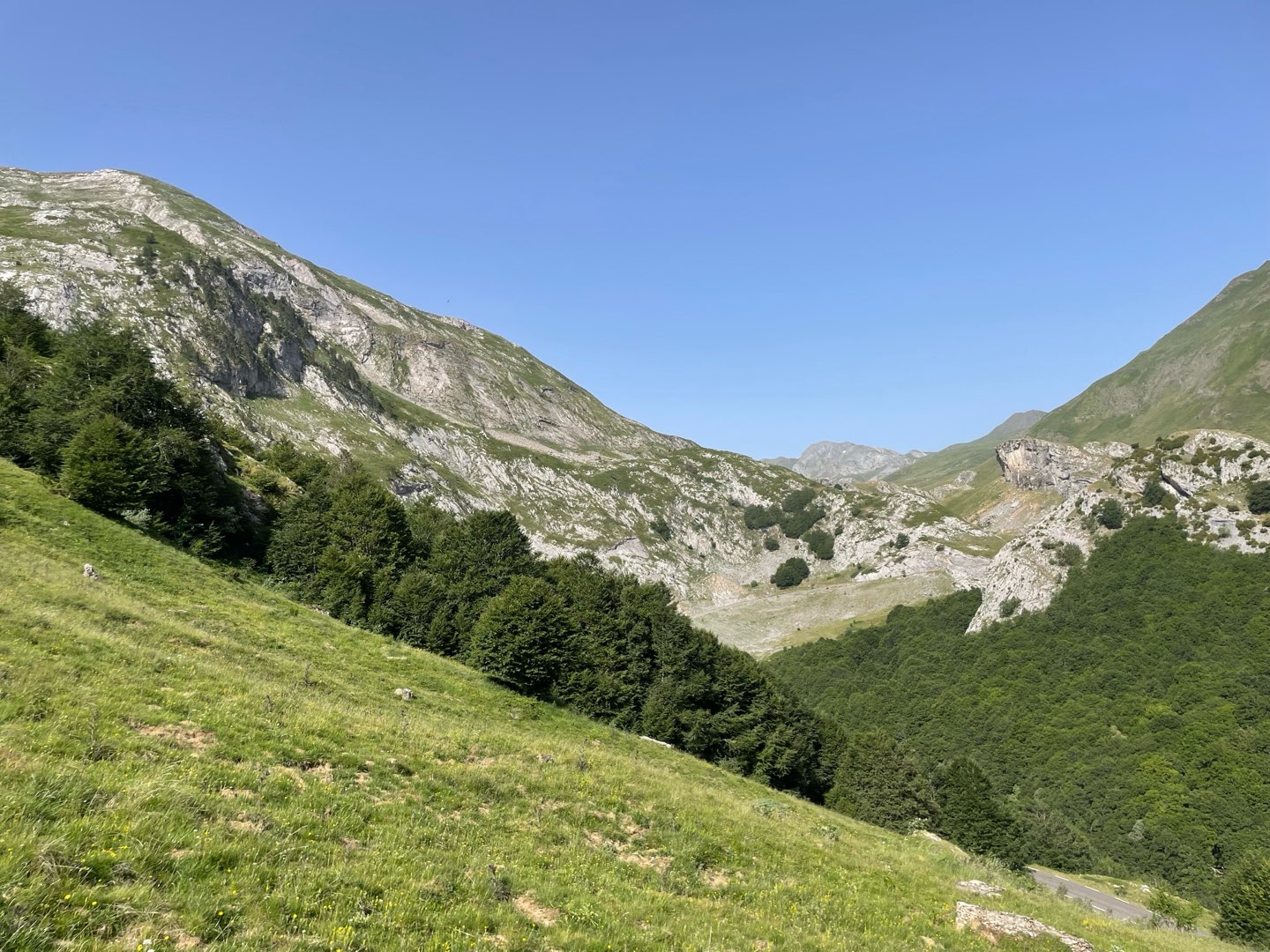
This relatively easy hike is the only one that, with such little climbing, offers such a vast, grandiose scenery including the highest peaks on the border with Spain.
The characteristics of the route.

Pont de Peyrelue (aval col du Pourtalet) (ES)
- Distance 5.55 km
- Elevation gain 270 m
- Elevation lost 270 m
- Min. elevation 1584 m
- Max. elevation. 1848 m
- Duration (depending on pace) 2h30
- Marking panneaux directionnels, pas de balisage
Report a problem
PDF-File-HIKING-49.Le col de Peyrelue The latest reviews & times
SarahBost
The 2026/08/06
En savoir plus
SarahBost
The 2026/08/06
En savoir plus
ARB64
finished in 02:22:00
The 2026/06/22
En savoir plus
Alain33250
finished in 03:00:00
The 2025/08/18
En savoir plus
See all reviews & times
2026/08/06 SarahBost
Très jolie rando! Montée en douceur et magnifique paysages! Mais celles et ceux qui ont le vertige, s'abstenir ????
2026/08/06 SarahBost
commentaire précédent : les points d'interrogation à la fin du message, c'est juste mon emoji clin d'oeil qui n'a pas été lu ;)
2026/08/06 SarahBost
Très jolie rando! Montée en douceur et magnifique paysages! Mais celles et ceux qui ont le vertige, s'abstenir ????
2026/08/06 SarahBost
commentaire précédent : les points d'interrogation à la fin du message, c'est juste mon emoji clin d'oeil qui n'a pas été lu ;)
2026/06/22 02:22:00
ARB64
ARB64
Nice walk, not too taxing after the initial climb. Came across shepherd and Patous, so followed the rules and gave a wide berth. Walked across the border into Spain for a few minutes and came back. Suitable for all abilities
Services nearby
Refuge de Pombie
COL-DU-POURTALET
Hébergement Associatif Béarn Pont de Camps
PONT-DE-CAMPS
Artouste charging station
Artouste

Bious Pagayous - Canoë Kayak
GABAS
L'Estibère
GABAS


Follow us on
the digital trails
the digital trails


The Ossau Valley Tourist Office
Welcome desk of Laruns
Maison de la Vallée d’Ossau – 64 440 LARUNS
+33(0)5 59 05 31 41
Tourist Office
 Ossau valley Land of adventures - Parcours - Circuit 49. Le col de Peyrelue
Hello, world! This is a toast message.
Ossau valley Land of adventures - Parcours - Circuit 49. Le col de Peyrelue
Hello, world! This is a toast message.
Ossau valley Land of adventures - Parcours - Circuit 49. Le col de Peyrelue
Hello, world! This is a toast message.




OK
Annuler