Circuit 45. Le col d'Artouste
Add to my favorites

Route opened

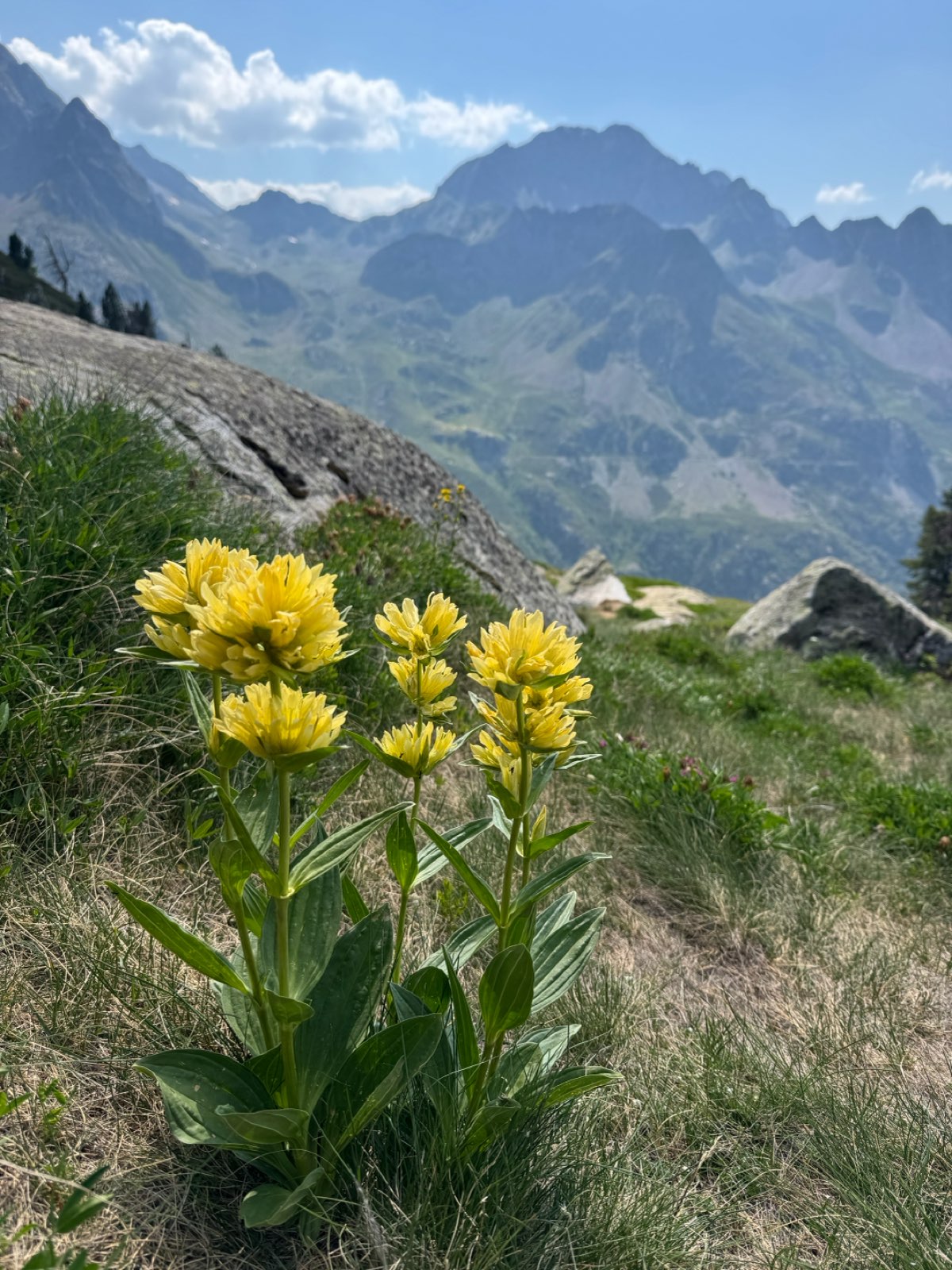
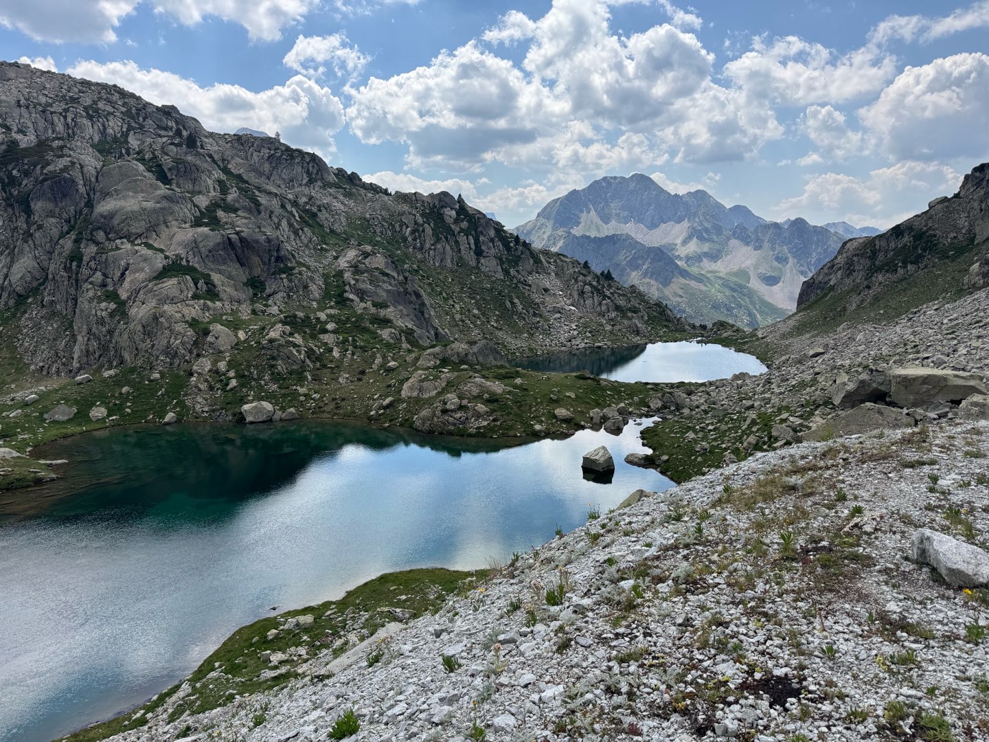
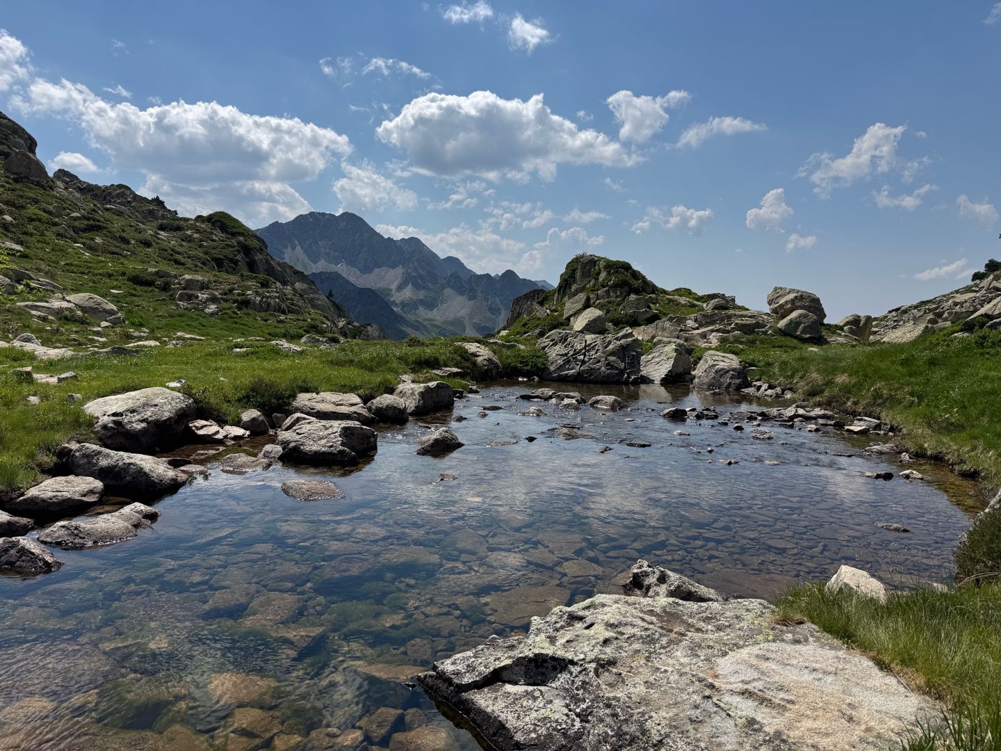
This beautiful hike will introduce you to the mineral world of the high mountains, with little effort. Up here, there is nothing but rocks, turquoise lakes and crystal-clear waters. The only survivors of this harsh environment are a few crookedly shaped mountain pines, which stand out on the white of the granite slabs.
The characteristics of the route.

Lac d'Artouste (ES)
- Distance 9.29 km
- Elevation gain 690 m
- Elevation lost 690 m
- Min. elevation 1915 m
- Max. elevation. 2463 m
- Duration (depending on pace) 4h
- Marking panneaux directionnels, pas de balisage
You may notice differences between the distance and elevation data displayed on the digital tools and the pdf file due to different data sources.
Report a problem
PDF-File-HIKING-45.Le col d'Artouste The latest reviews & times
MRose
finished in 02:00:00
The 2026/07/11
En savoir plus
Sylvie33
The 2025/10/10
En savoir plus
Bosseur
finished in 04:30:00
The 2024/08/27
En savoir plus
See all reviews & times
2025/10/10 Sylvie33
Services nearby
Hébergement Associatif Béarn Pont de Camps
PONT-DE-CAMPS
Artouste charging station
Artouste

Restaurant Le Panoramic
ARTOUSTE
L'Estibère
GABAS
Refuge de Pombie
COL-DU-POURTALET


Follow us on
the digital trails
the digital trails


The Ossau Valley Tourist Office
Welcome desk of Laruns
Maison de la Vallée d’Ossau – 64 440 LARUNS
+33(0)5 59 05 31 41
Tourist Office
 Ossau valley Land of adventures - Parcours - Circuit 45. Le col d'Artouste
Hello, world! This is a toast message.
Ossau valley Land of adventures - Parcours - Circuit 45. Le col d'Artouste
Hello, world! This is a toast message.
Ossau valley Land of adventures - Parcours - Circuit 45. Le col d'Artouste
Hello, world! This is a toast message.




OK
Annuler